Medium airport · South Korea
Gwangju AirportRKJJ
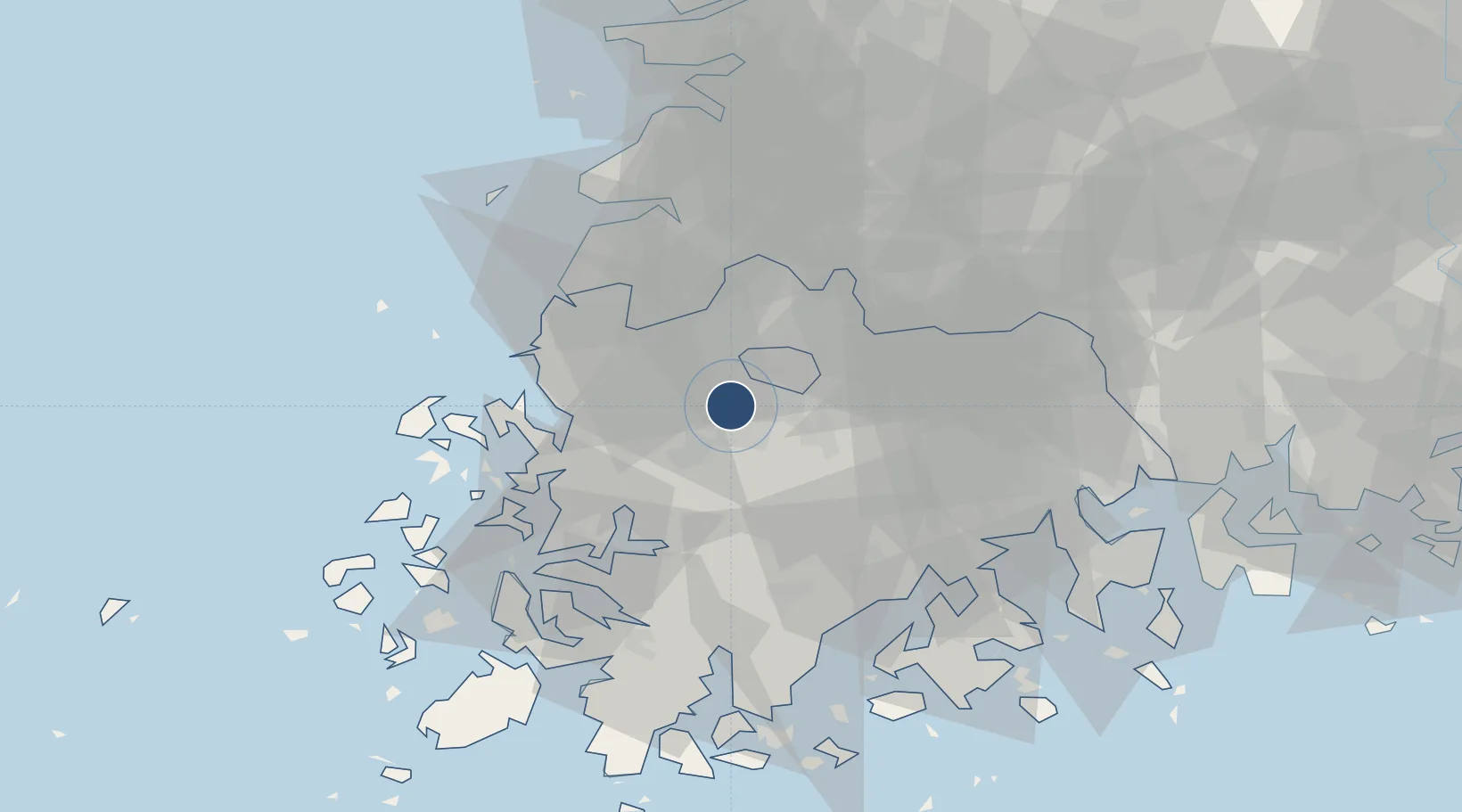
35.1232°, 126.8054°
9,300 ft
Longest runway
2
Runways
39 ft
Elevation
Runway & Layout

Radio Frequencies
ATIS
128.875 MHz
TWR
126.2 MHz
GND
118.05 MHz
APP
130 MHz
DEP
124 MHz
ARR
132.25 MHz
GWANJU ARRIVAL
EMR
121.5 MHz
Navaids
KWA VOR-DME Gwangju 114.40 MHz
KWJ TACAN Gwangju 114.10 MHz
Runways · 2
| Runway | Dimensions | Surface | True heading | Lit |
|---|---|---|---|---|
| 04L/22R | 9,300 × 150ft | Concrete | 032° | ✓ |
| 04R/22L | 9,300 × 150ft | Concrete | 030° | ✓ |
Airport Specifications
IATA code
KWJ
ICAO code
RKJJ
Airport class
Medium airport
Scheduled service
Yes
Runway surface
Concrete
Served city
Gwangju
Location
Nearby Logistics Neighbours
Airports
Cities
- 1Gwangju2 km
- 2Naju14 km
- 3Hwasun-gun18 km
- 4Jangseong/Jangseong-gun20 km
- 5Muan-gun21 km
Ports
- 1Mokpo54 km
- 2Gwangyang Hang89 km
- 3Kunsan97 km
- 4Masan160 km
- 5Chinae168 km
DatabookThe Record of Consolidated Knowledge
South Korea beyond logistics?