Transport Functions
Rail
Road
Hub Profile
Place type
Populated place
Region
Jeju-do
Time zone
Asia/Seoul
Elevation
6 m
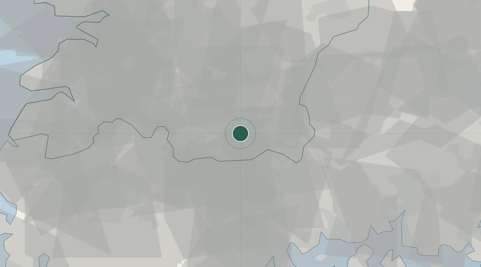
Location
Nearby Logistics Neighbours
Cities
- 1Gokseong-gun17 km
- 2Gurye-gun23 km
- 3Imsil-gun25 km
- 4Jinan-gun26 km
- 5Jangsu-gun29 km
Ports
- 1Gwangyang Hang64 km
- 2Kunsan95 km
- 3Masan110 km
- 4Mokpo114 km
- 5Chinae119 km
Airports
- 1Gwangju Airport61 km
- 2Yeosu Airport66 km
- 3Sacheon Airport / Sacheon Air Base72 km
- 4Gunsan Airport / Gunsan Air Base89 km
- 5Muan International Airport102 km
DatabookThe Record of Consolidated Knowledge
South Korea beyond logistics?