UN/LOCODE hub · South Korea
KRDDC

Dongducheon

37.9000°, 127.5500°
2
Transport functions

Transport Functions

Rail
Road
UN/LOCODE

Hub Profile

Region
41
GeoNames

Location

Location of KRDDC
Natural Earth 10m (public domain) · 41 · KRDDC · 37.90, 127.55GoogleOSMYandex

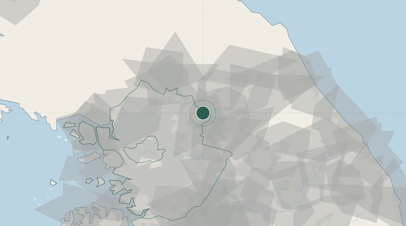
Nearby Logistics Neighbours

Cities
  1. 1Gapyeong-gun10 km
  2. 2Chuncheon18 km
  3. 3Hwacheon-gun26 km
  4. 4Yangpyeong-gun28 km
  5. 5Hongcheon-gun38 km
Nearest neighbours — logibook spatial index (haversine) over the source coordinates
Ports
  1. 1Inchon95 km
  2. 2Sokch'o Hang98 km
  3. 3Pyeongtaek Hang120 km
  4. 4Wonsan141 km
  5. 5Daesan Hang141 km
Nearest neighbours — logibook spatial index (haversine) over the source coordinates
Airports
  1. 1Wonju Airport / Hoengseong Air Base (K-38/K-46)63 km
  2. 2Seoul Air Base (K-16)64 km
  3. 3Gimpo International Airport77 km
  4. 4Suwon Airport88 km
  5. 5Yangyang International Airport100 km
Nearest neighbours — logibook spatial index (haversine) over the source coordinates
Trade Zones
  1. 1Gangwon-do Regulation-Free Zone16 km
  2. 2Dongducheon 2 Industrial Complex44 km
  3. 3Nam-myeon Industrial Complex In Yangju46 km
  4. 4Geomjun General Industrial Complex50 km
  5. 5Godeok New International Industrial Complex52 km
Nearest neighbours — logibook spatial index (haversine) over the source coordinates
DatabookThe Record of Consolidated Knowledge
South Korea beyond logistics?
Browse databook

All Sources

LocationsUN/LOCODE
UN/LOCODE — free
Portsthe NGA World Port Index
Public domain (US gov)
AirportsOurAirports
Public domain
Trade Zonesthe World Bank SEZ database
CC BY 4.0
Trade ZonesOpen Zone Map
CC BY
← South Korea locations