UN/LOCODE hub · South Korea
KRCHC
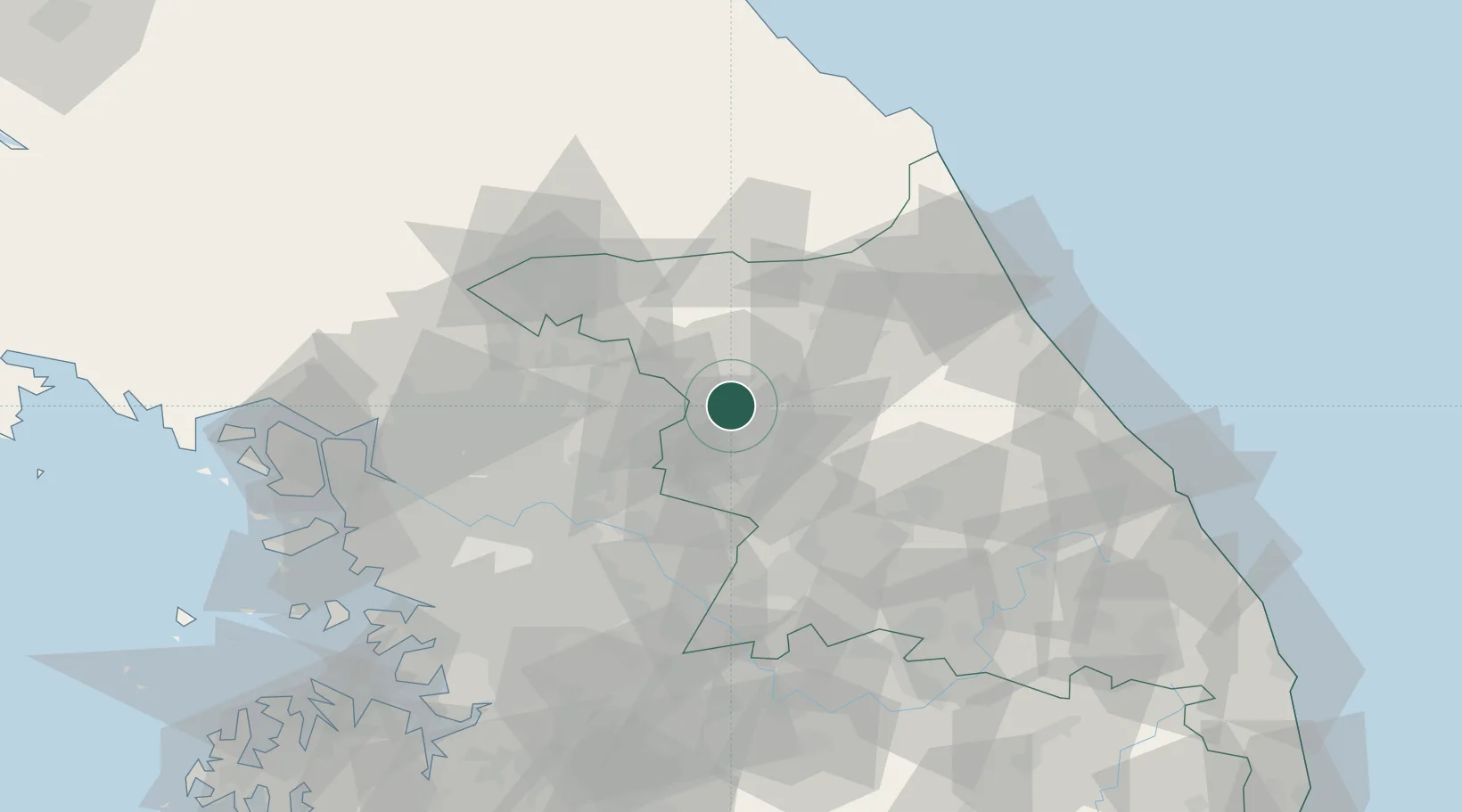
Chuncheon
37.8667°, 127.7500°
286,124
Population
2
Transport functions
Transport Functions
Rail
Road
Hub Profile
Place type
Regional capital
Region
Gangwon-do
Population
286,124
Time zone
Asia/Seoul
Elevation
92 m
Location
Nearby Logistics Neighbours
Cities
- 1Dongducheon18 km
- 2Gapyeong-gun23 km
- 3Hongcheon-gun24 km
- 4Hwacheon-gun26 km
- 5Yanggu-gun33 km
Ports
- 1Sokch'o Hang83 km
- 2Inchon109 km
- 3Mukho125 km
- 4Pyeongtaek Hang128 km
- 5Tonghae129 km
Airports
DatabookThe Record of Consolidated Knowledge
South Korea beyond logistics?