UN/LOCODE hub · South Korea
KRGPG

Gapyeong-gun

37.8167°, 127.5000°
2
Transport functions

Transport Functions

Rail
Road
UN/LOCODE

Hub Profile

Region
41
GeoNames

Location

Location of KRGPG
Natural Earth 10m (public domain) · 41 · KRGPG · 37.82, 127.50GoogleOSMYandex

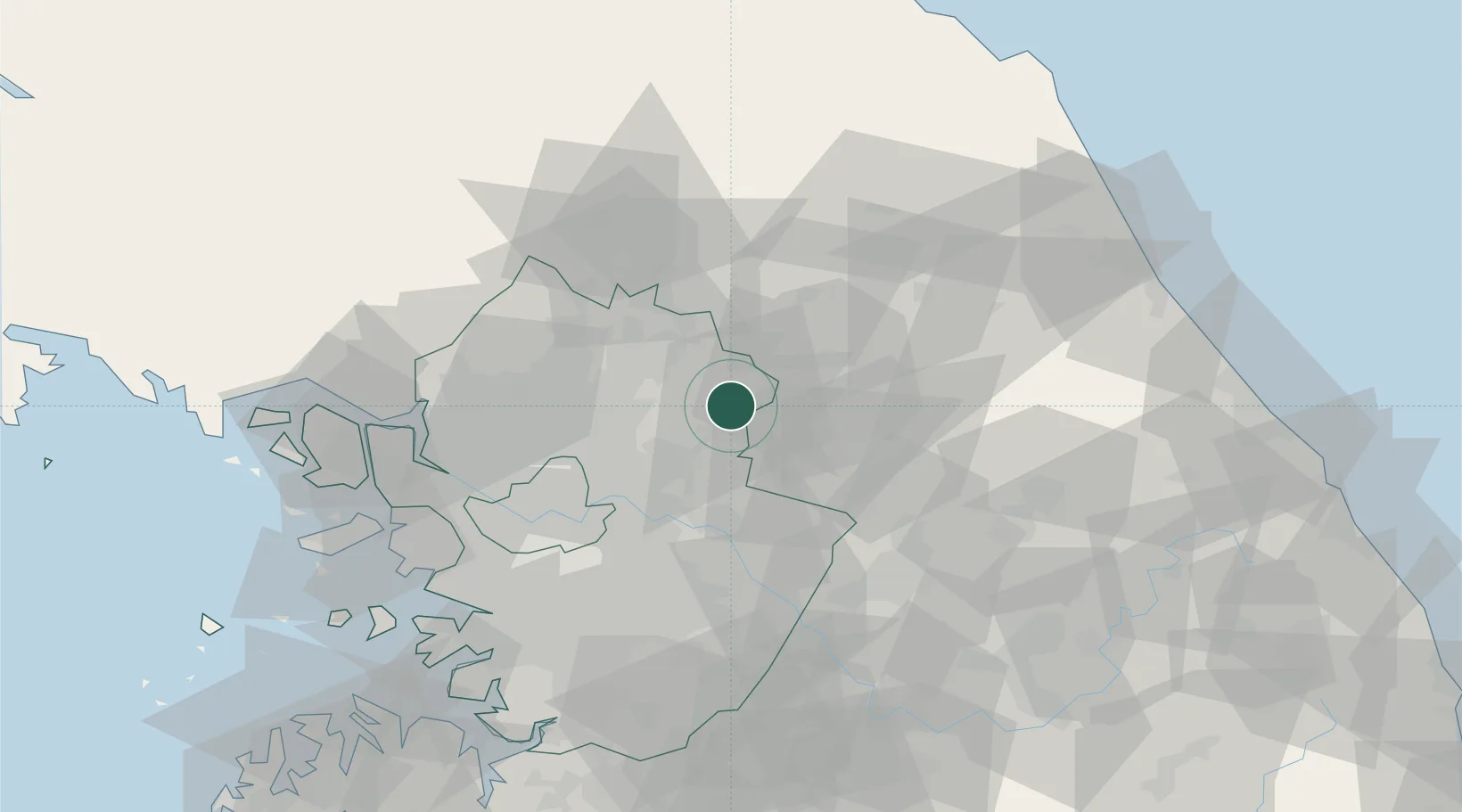
Nearby Logistics Neighbours

Cities
  1. 1Dongducheon10 km
  2. 2Yangpyeong-gun19 km
  3. 3Chuncheon23 km
  4. 4Namyangju33 km
  5. 5Hwacheon-gun36 km
Nearest neighbours — logibook spatial index (haversine) over the source coordinates
Ports
  1. 1Inchon87 km
  2. 2Sokch'o Hang105 km
  3. 3Pyeongtaek Hang110 km
  4. 4Daesan Hang132 km
  5. 5Mukho145 km
Nearest neighbours — logibook spatial index (haversine) over the source coordinates
Airports
  1. 1Seoul Air Base (K-16)54 km
  2. 2Wonju Airport / Hoengseong Air Base (K-38/K-46)59 km
  3. 3Gimpo International Airport69 km
  4. 4Suwon Airport78 km
  5. 5Osan Air Base91 km
Nearest neighbours — logibook spatial index (haversine) over the source coordinates
Trade Zones
  1. 1Gangwon-do Regulation-Free Zone22 km
  2. 2Nam-myeon Industrial Complex In Yangju41 km
  3. 3Dongducheon 2 Industrial Complex42 km
  4. 4Godeok New International Industrial Complex42 km
  5. 5Geomjun General Industrial Complex46 km
Nearest neighbours — logibook spatial index (haversine) over the source coordinates
DatabookThe Record of Consolidated Knowledge
South Korea beyond logistics?
Browse databook

All Sources

LocationsUN/LOCODE
UN/LOCODE — free
Portsthe NGA World Port Index
Public domain (US gov)
AirportsOurAirports
Public domain
Trade Zonesthe World Bank SEZ database
CC BY 4.0
Trade ZonesOpen Zone Map
CC BY
← South Korea locations