Large airport · South Korea

Yangyang International AirportRKNY
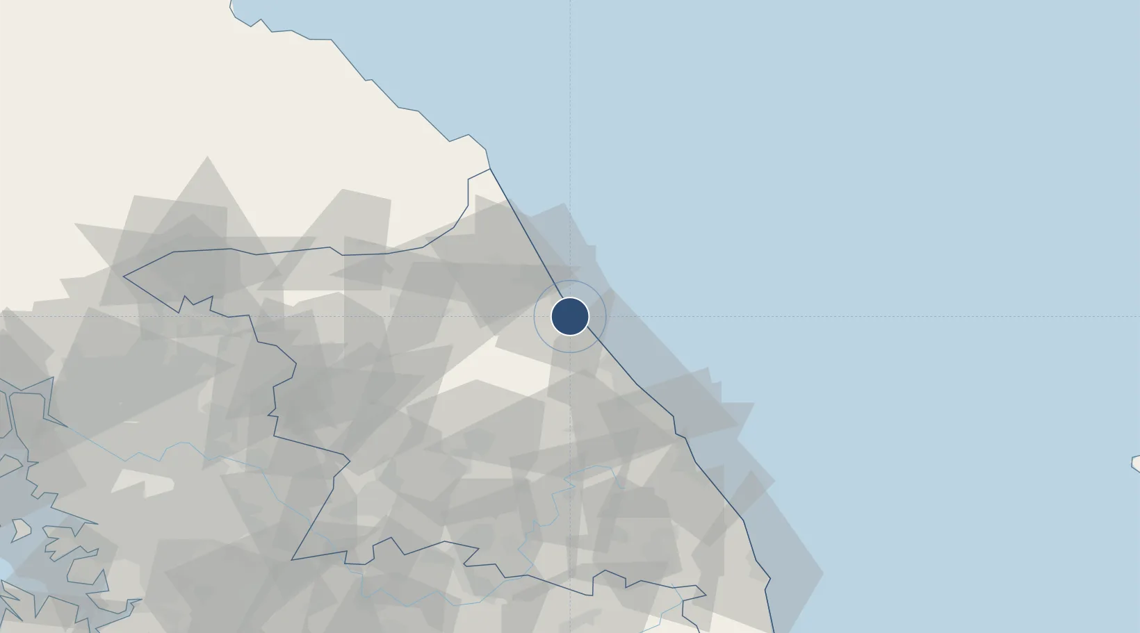
38.0605°, 128.6698°
8,202 ft
Longest runway
1
Runways
241 ft
Elevation

Runway & Layout

Yangyang International Airport runway & taxiway layout
Runway & taxiway layout — OpenStreetMap (ODbL) / OurAirports

Radio Frequencies

TWR
118.85 MHz
GND
123.15 MHz
CLD
123.15 MHz
APP
124.6 MHz
GANGNEUNG APP
DEP
124.6 MHz
GANGNEUNG DEP
OurAirports

Navaids

YAG VOR-DME Yangyang 110.60 MHz
OurAirports

Runways · 1

RunwayDimensions SurfaceTrue headingLit
15/33 8,202 × 148ft Concrete 141°
OurAirports

Airport Specifications

IATA code
YNY
OurAirports
ICAO code
RKNY
OurAirports
Airport class
Large airport
OurAirports
Scheduled service
Yes
OurAirports
Runway surface
Concrete
OurAirports
Served city
Gonghang-ro
OurAirports

Location

Location of RKNY
Natural Earth 10m (public domain) · Gangwon · RKNY · 38.06, 128.67GoogleOSMYandex

Nearby Logistics Neighbours

Airports
  1. 1Gangneung Airport (K-18)42 km
  2. 2Wonju Airport / Hoengseong Air Base (K-38/K-46)93 km
  3. 3Jungwon Air Base/Chungju Airport134 km
  4. 4Seoul Air Base (K-16)153 km
  5. 5Wonsan Kalma International Airport160 km
Nearest neighbours — logibook spatial index (haversine) over the source coordinates
Cities
  1. 1Yangyang-gun5 km
  2. 2Sokcho17 km
  3. 3Jumunjin24 km
  4. 4Goseong-gun38 km
  5. 5Gangneung40 km
Nearest neighbours — logibook spatial index (haversine) over the source coordinates
Ports
  1. 1Sokch'o Hang17 km
  2. 2Mukho68 km
  3. 3Tonghae72 km
  4. 4Wonsan162 km
  5. 5Inchon192 km
Nearest neighbours — logibook spatial index (haversine) over the source coordinates
DatabookThe Record of Consolidated Knowledge
South Korea beyond logistics?
Browse databook

All Sources

AirportsOurAirports
Public domain
Portsthe NGA World Port Index
Public domain (US gov)
LocationsUN/LOCODE
UN/LOCODE — free
Trade Zonesthe World Bank SEZ database
CC BY 4.0
Trade ZonesOpen Zone Map
CC BY
InfrastructureOpenStreetMap
ODbL 1.0
← South Korea airports