UN/LOCODE hub · South Korea
KRYPG

Yangpyeong-gun

37.6500°, 127.4833°
2
Transport functions

Transport Functions

Rail
Road
UN/LOCODE

Hub Profile

Region
41
GeoNames

Location

Location of KRYPG
Natural Earth 10m (public domain) · 41 · KRYPG · 37.65, 127.48GoogleOSMYandex

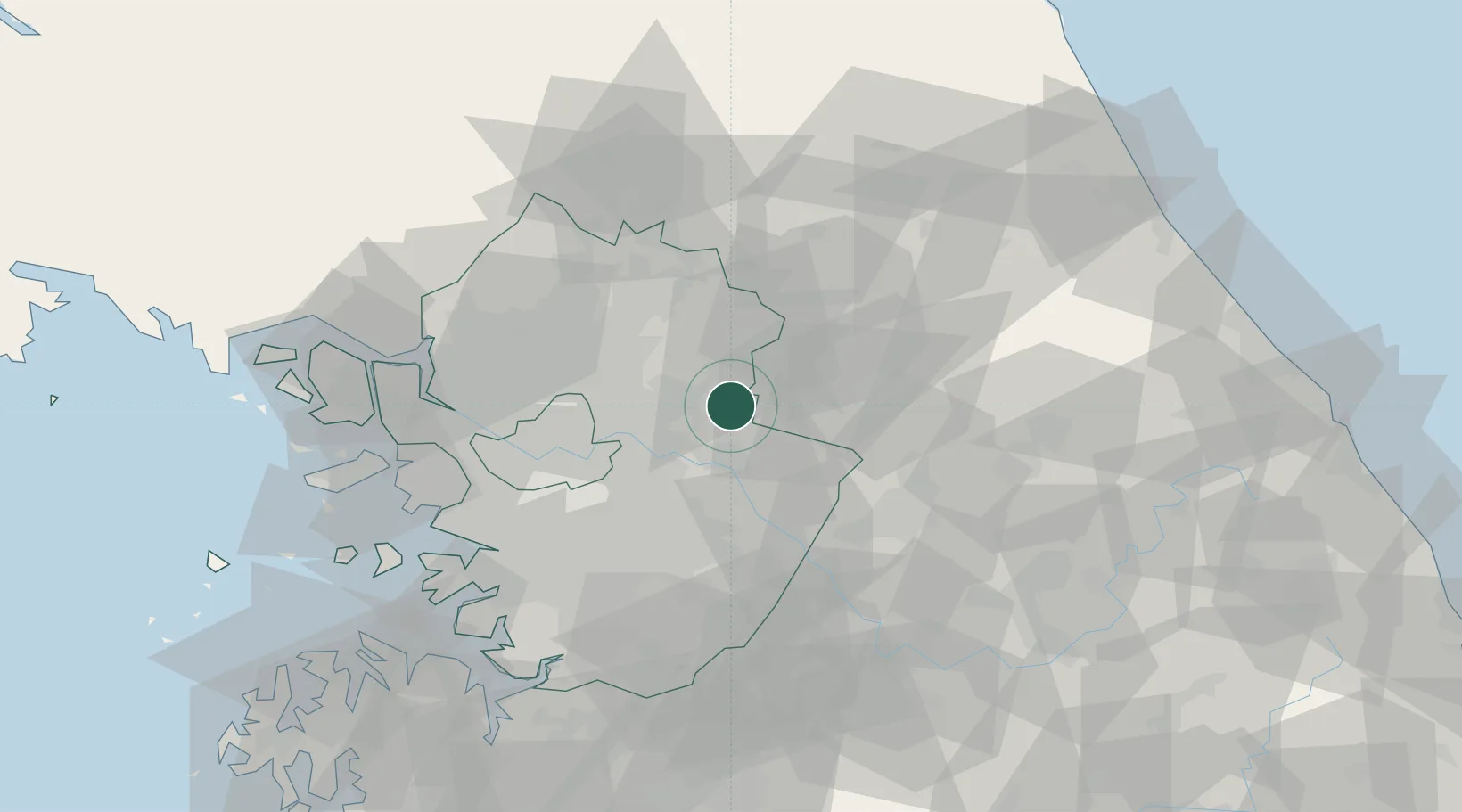
Nearby Logistics Neighbours

Cities
  1. 1Gapyeong-gun19 km
  2. 2Namyangju25 km
  3. 3Hanam28 km
  4. 4Dongducheon28 km
  5. 5Guri32 km
Nearest neighbours — logibook spatial index (haversine) over the source coordinates
Ports
  1. 1Inchon79 km
  2. 2Pyeongtaek Hang94 km
  3. 3Sokch'o Hang116 km
  4. 4Daesan Hang119 km
  5. 5Mukho144 km
Nearest neighbours — logibook spatial index (haversine) over the source coordinates
Airports
  1. 1Seoul Air Base (K-16)40 km
  2. 2Wonju Airport / Hoengseong Air Base (K-38/K-46)48 km
  3. 3Gimpo International Airport62 km
  4. 4Suwon Airport62 km
  5. 5Osan Air Base74 km
Nearest neighbours — logibook spatial index (haversine) over the source coordinates
Trade Zones
  1. 1Godeok New International Industrial Complex32 km
  2. 2Gangwon-do Regulation-Free Zone34 km
  3. 3Seongnam General Industrial Complex36 km
  4. 4Nam-myeon Industrial Complex In Yangju43 km
  5. 5Pangyo Techno Valley43 km
Nearest neighbours — logibook spatial index (haversine) over the source coordinates
DatabookThe Record of Consolidated Knowledge
South Korea beyond logistics?
Browse databook

All Sources

LocationsUN/LOCODE
UN/LOCODE — free
Portsthe NGA World Port Index
Public domain (US gov)
AirportsOurAirports
Public domain
Trade Zonesthe World Bank SEZ database
CC BY 4.0
Trade ZonesOpen Zone Map
CC BY
← South Korea locations