Transport Functions
Rail
Road
Hub Profile
Region
48
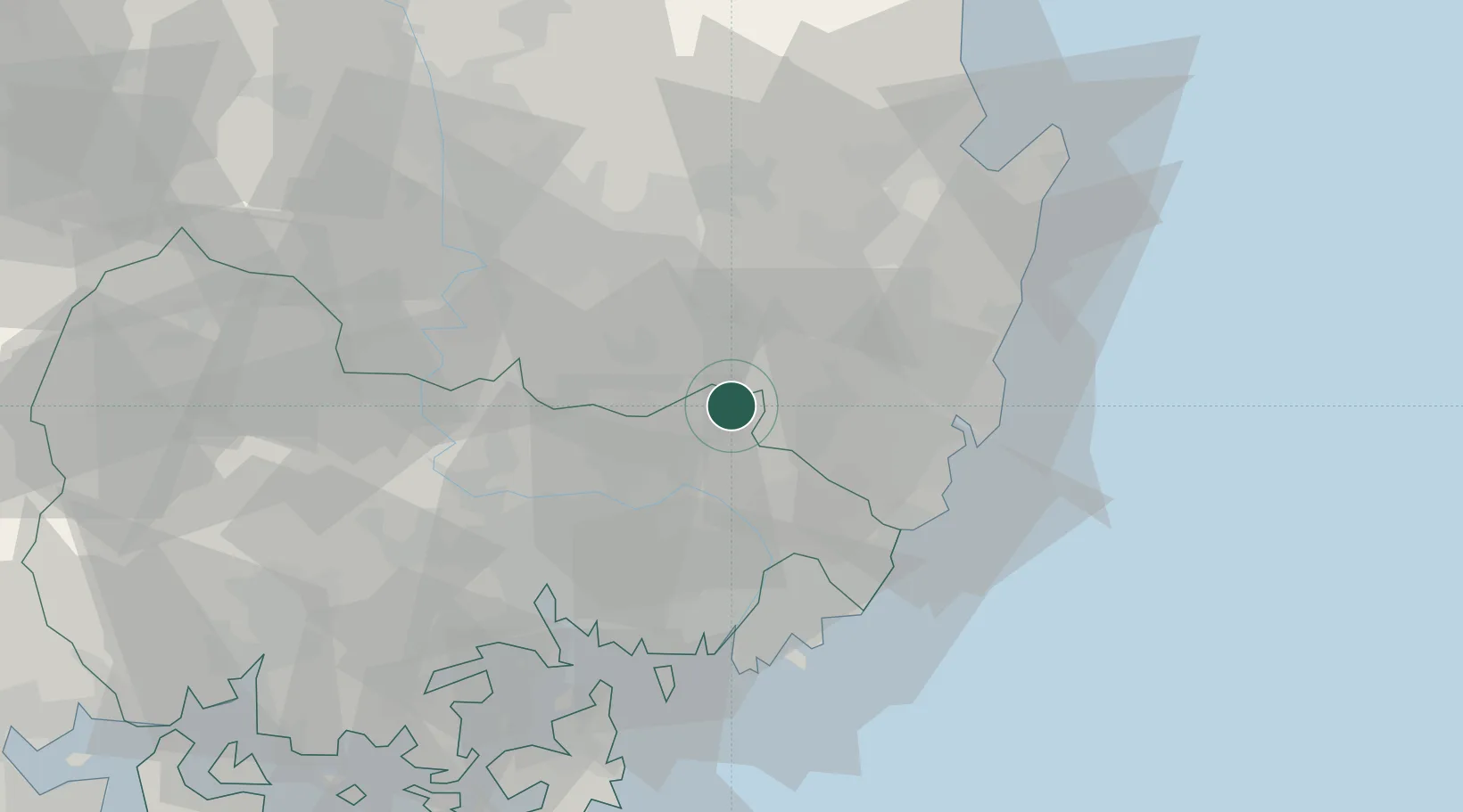
Location
Nearby Logistics Neighbours
Cities
- 1Cheongdo-gun22 km
- 2Yangsan25 km
- 3Yongsan25 km
- 4Gyeongsan34 km
- 5Koryong35 km
Airports
DatabookThe Record of Consolidated Knowledge
South Korea beyond logistics?