Transport Functions
Multimodal
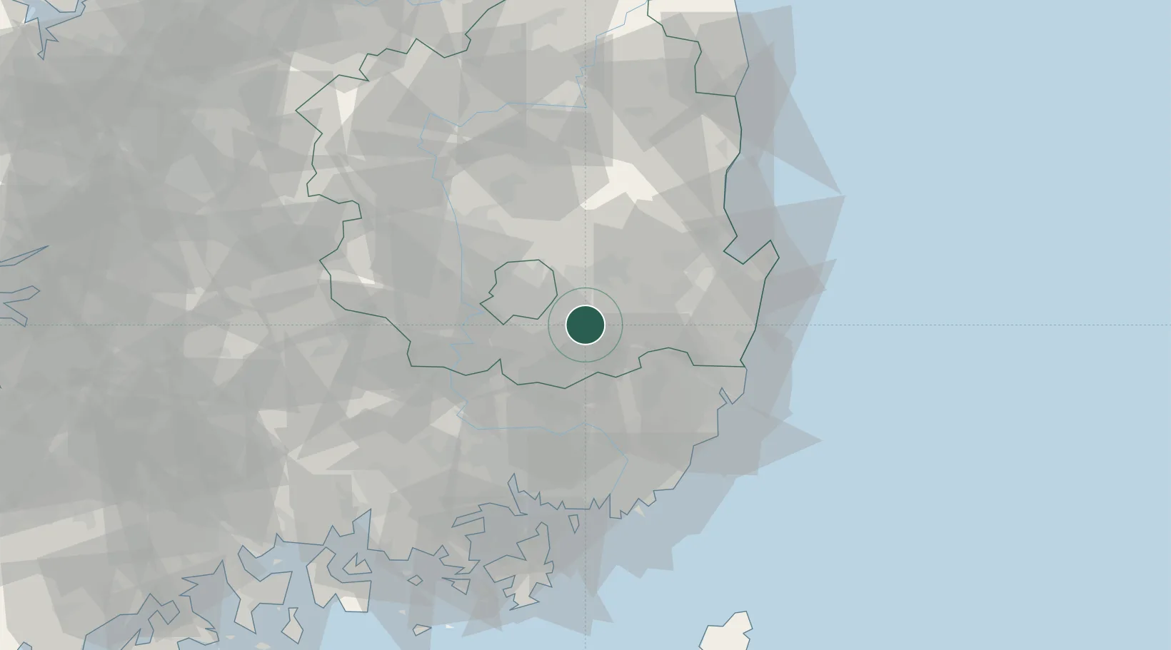
Hub Profile
Place type
Populated place
Region
Gyeongsangbuk-do
Time zone
Asia/Seoul
Elevation
241 m
Location
Nearby Logistics Neighbours
Cities
- 1Gyeongsan13 km
- 2Cheongdo-gun19 km
- 3Yeongcheon23 km
- 4Hapcheon-gun25 km
- 5Daegu28 km
Airports
Trade Zones
DatabookThe Record of Consolidated Knowledge
South Korea beyond logistics?