UN/LOCODE hub · South Korea
KRCDO

Cheongdo-gun

35.6333°, 128.7333°
2
Transport functions

Transport Functions

Rail
Road
UN/LOCODE

Hub Profile

Region
47
GeoNames

Location

Location of KRCDO
Natural Earth 10m (public domain) · 47 · KRCDO · 35.63, 128.73GoogleOSMYandex

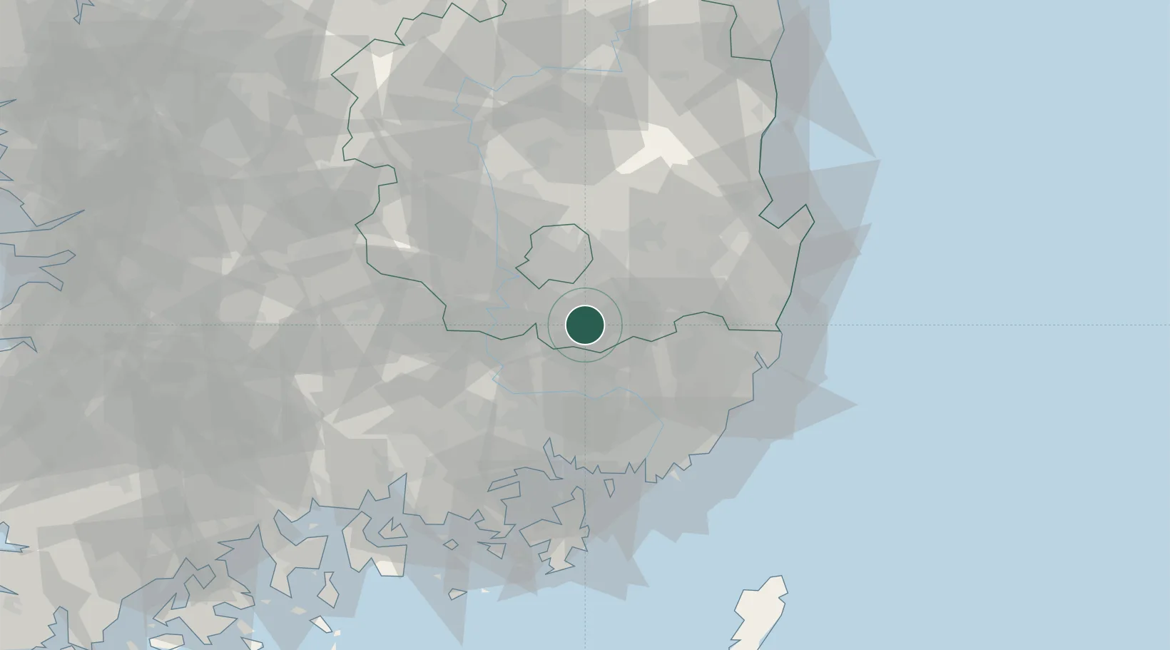
Nearby Logistics Neighbours

Cities
  1. 1Gyeongsan19 km
  2. 2Yongsan19 km
  3. 3Hapcheon-gun22 km
  4. 4Changnyeong-gun25 km
  5. 5Dalseong-gun/Daegu26 km
Nearest neighbours — logibook spatial index (haversine) over the source coordinates
Ports
  1. 1Masan52 km
  2. 2Chinae56 km
  3. 3Ulsan64 km
  4. 4Busan65 km
  5. 5Pohang75 km
Nearest neighbours — logibook spatial index (haversine) over the source coordinates
Airports
  1. 1Daegu International Airport30 km
  2. 2Gimhae International Airport54 km
  3. 3Ulsan Airport56 km
  4. 4Pohang Airport (G-815/K-3)73 km
  5. 5Sacheon Airport / Sacheon Air Base85 km
Nearest neighbours — logibook spatial index (haversine) over the source coordinates
Trade Zones
  1. 1Gyeongsan 2 General Industrial Complex23 km
  2. 2Suseong Medical District23 km
  3. 3Dalseong 1 (GIC - includes 10ha FIZ)27 km
  4. 4Sinseo Medivalley27 km
  5. 5Gyeongsan 1 General Industrial Complex28 km
Nearest neighbours — logibook spatial index (haversine) over the source coordinates
DatabookThe Record of Consolidated Knowledge
South Korea beyond logistics?
Browse databook

All Sources

LocationsUN/LOCODE
UN/LOCODE — free
Portsthe NGA World Port Index
Public domain (US gov)
AirportsOurAirports
Public domain
Trade Zonesthe World Bank SEZ database
CC BY 4.0
Trade ZonesOpen Zone Map
CC BY
← South Korea locations