Medium airport · South Korea
Ulsan AirportRKPU
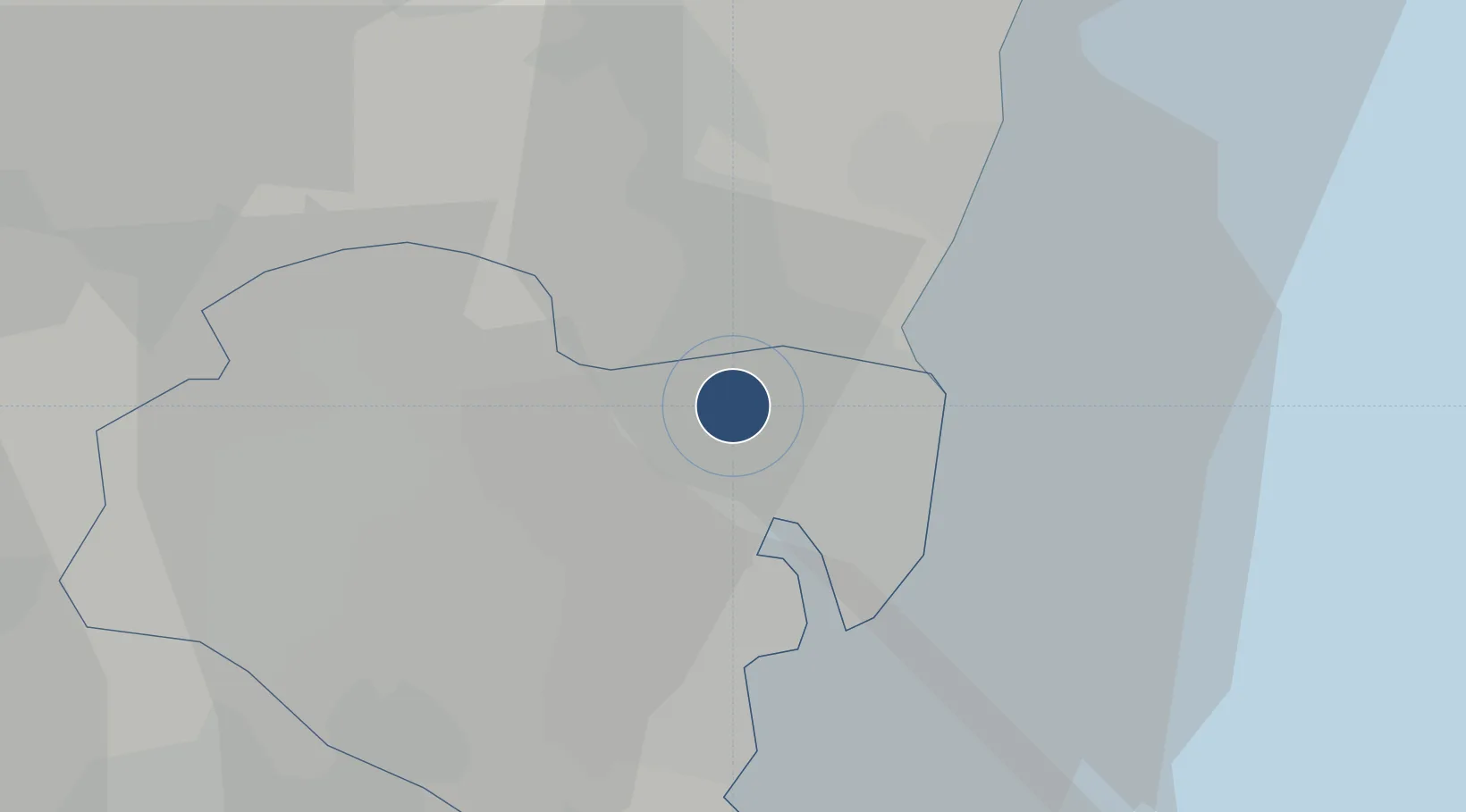
35.5935°, 129.3520°
6,561 ft
Longest runway
1
Runways
45 ft
Elevation
Runway & Layout

Radio Frequencies
ATIS
127.35 MHz
TWR
122.6 MHz
APP
124.25 MHz
POHANG APP
ACP
120 MHz
BRICKWALL
Navaids
US NDB Ulsan 335 kHz
USN VOR-DME Ulsan 111.40 MHz
Runways · 1
| Runway | Dimensions | Surface | True heading | Lit |
|---|---|---|---|---|
| 18/36 | 6,561 × 148ft | Asphalt | 176° | ✓ |
Airport Specifications
IATA code
USN
ICAO code
RKPU
Airport class
Medium airport
Scheduled service
Yes
Runway surface
Asphalt
Served city
Ulsan
Location
Nearby Logistics Neighbours
Airports
Cities
- 1Mipo/Ulsan11 km
- 2Ulsan16 km
- 3Onsan/Ulsan18 km
- 4Gyeongju31 km
- 5Hapcheon-gun37 km
Trade Zones
DatabookThe Record of Consolidated Knowledge
South Korea beyond logistics?