Transport Functions
Rail
Road
Hub Profile
Place type
Provincial seat
Region
Gyeongsangnam-do
Population
358,074
Time zone
Asia/Seoul
Elevation
6 m
Logistics facilities
4
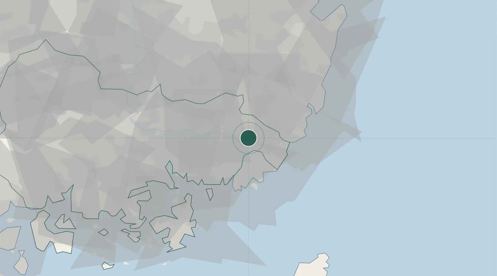
Location
Nearby Logistics Neighbours
Cities
- 1Gijang-gun/Busan18 km
- 2Busanjin-Gu21 km
- 3Koryong25 km
- 4Hapcheon-gun25 km
- 5Busan26 km
Airports
DatabookThe Record of Consolidated Knowledge
South Korea beyond logistics?