Transport Functions
Multimodal
Hub Profile
Place type
Populated place
Region
Gyeongsangnam-do
Time zone
Asia/Seoul
Elevation
211 m
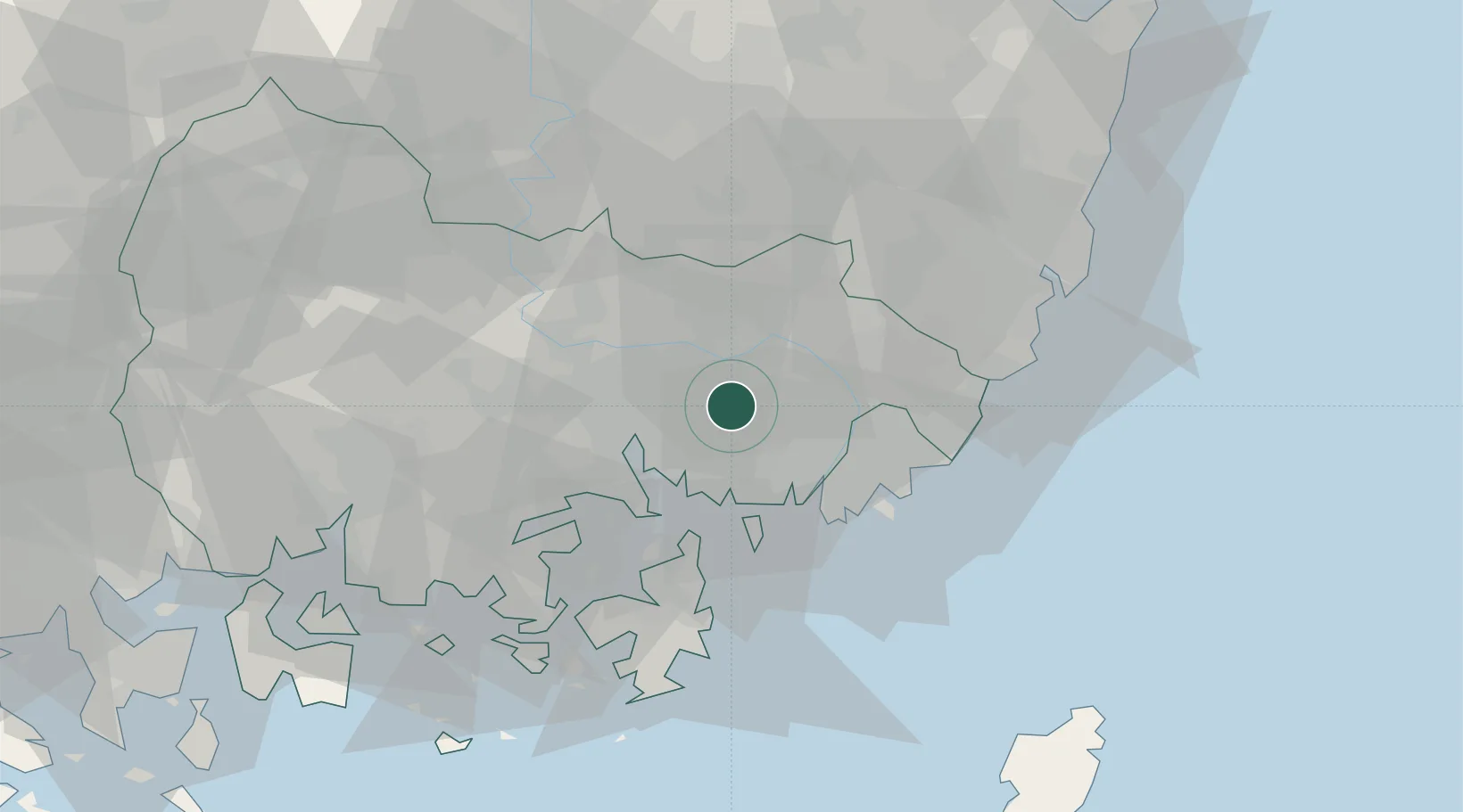
Location
Nearby Logistics Neighbours
Cities
- 1Jinhae19 km
- 2Changwon20 km
- 3Busan New Port21 km
- 4Masan21 km
- 5Busan24 km
Ports
- 1Chinae19 km
- 2Masan22 km
- 3Busan29 km
- 4Ulsan60 km
- 5Gwangyang Hang102 km
Airports
DatabookThe Record of Consolidated Knowledge
South Korea beyond logistics?