Specialized Zone · South Korea

Ulsan Regulation-Free Zone Active
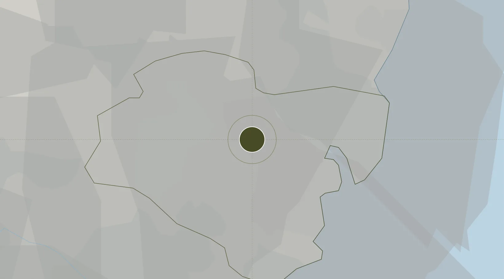
35.5425°, 129.2511°
105,713 ha
Zone area
17.0 km
Nearest port
10.7 km
Nearest airport

Gateway access

Nearest neighbours — logibook spatial index (haversine) over the source coordinates

Zone profile

Zone type
Specialized Zone
Open Zone Map
Specialization
Biotech
Open Zone Map
Region
Ulsan
Open Zone Map
Status
Active
Open Zone Map
Management
Public
Open Zone Map
Operator
Ulsan City
Open Zone Map
Legal framework
Act On Special Cases Concerning The Regulation Of Regulation-Free Special Zones And Special Economic Zones For Specialized Regional Development: Section 1.
Open Zone Map

Location

Location of ozm-4280
Natural Earth 10m (public domain) · Ulsan · ozm-4280 · 35.54, 129.25GoogleOSMYandex

Nearby Logistics Neighbours

Ports
  1. 1Ulsan17 km
  2. 2Busan53 km
  3. 3Pohang58 km
  4. 4Chinae71 km
  5. 5Masan74 km
Nearest neighbours — logibook spatial index (haversine) over the source coordinates
Airports
  1. 1Ulsan Airport11 km
  2. 2Gimhae International Airport49 km
  3. 3Pohang Airport (G-815/K-3)52 km
  4. 4Daegu International Airport66 km
  5. 5Sacheon Airport / Sacheon Air Base118 km
Nearest neighbours — logibook spatial index (haversine) over the source coordinates
Cities
  1. 1Ulsan14 km
  2. 2Onsan/Ulsan15 km
  3. 3Mipo/Ulsan17 km
  4. 4Hapcheon-gun27 km
  5. 5Yangsan30 km
Nearest neighbours — logibook spatial index (haversine) over the source coordinates
DatabookThe Record of Consolidated Knowledge
South Korea beyond logistics?
Browse databook

All Sources

Trade ZonesOpen Zone Map
CC BY
Portsthe NGA World Port Index
Public domain (US gov)
AirportsOurAirports
Public domain
LocationsUN/LOCODE
UN/LOCODE — free
← South Korea trade zones