Large airport · South Korea

Gimhae International AirportRKPK
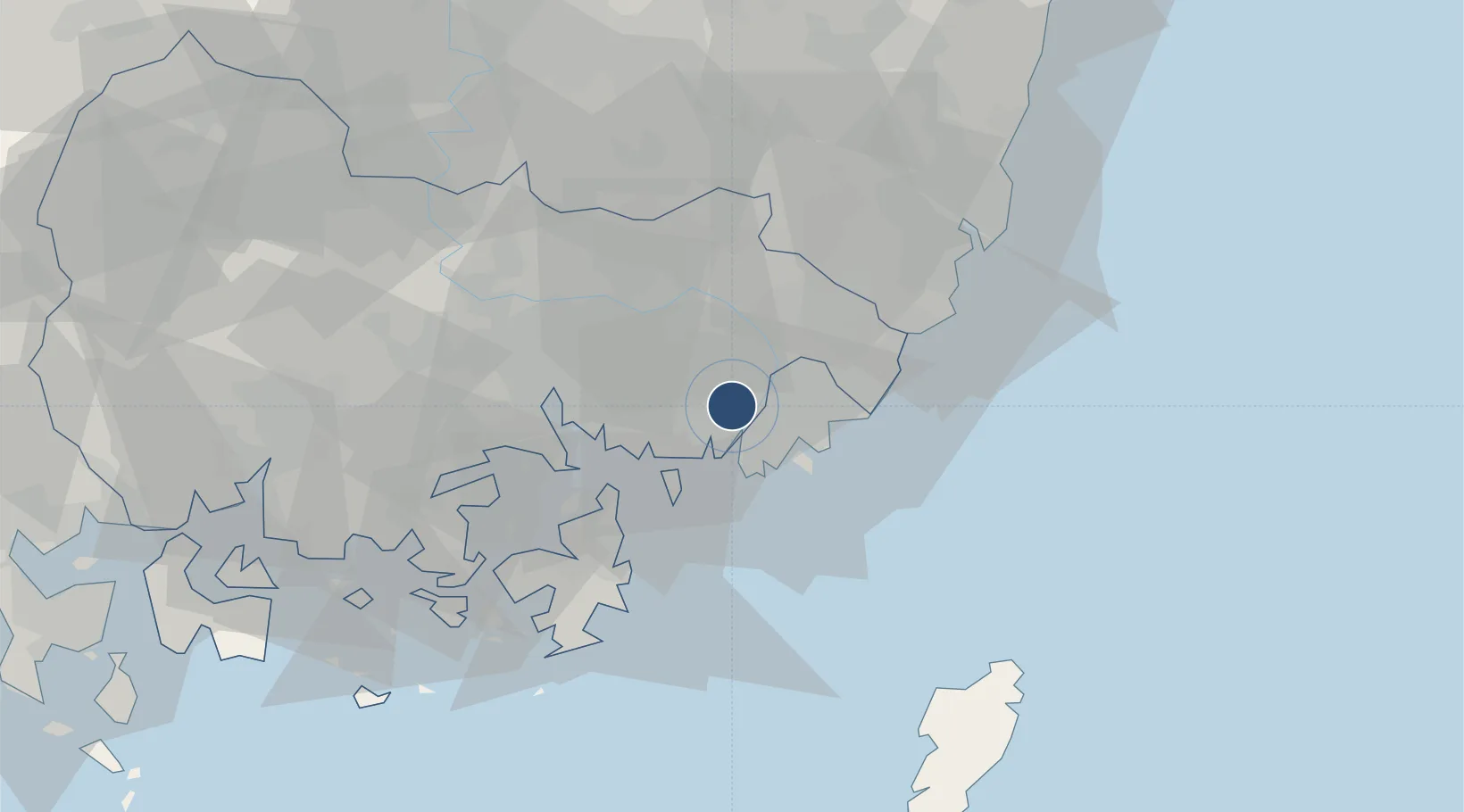
35.1795°, 128.9380°
10,499 ft
Longest runway
2
Runways
6 ft
Elevation

Runway & Layout

Gimhae International Airport runway & taxiway layout
Runway & taxiway layout — OpenStreetMap (ODbL) / OurAirports

Radio Frequencies

ATIS
126.6 MHz
TWR
118.1 MHz
GND
121.9 MHz
CLD
121.8 MHz
CLNC DEL
APP
135.7 MHz
DEP
125.5 MHz
ACP
120 MHz
BRICKWALL
ARR
119.2 MHz
OPS
133.825 MHz
COWBOY OPS
OurAirports

Navaids

KHE TACAN Gimhae 117.00 MHz
KMH VOR-DME Gimhae 113.80 MHz
PSN VORTAC Busan 114.00 MHz
OurAirports

Runways · 2

RunwayDimensions SurfaceTrue headingLit
18R/36L 10,499 × 197ft Concrete 174°
18L/36R 9,007 × 150ft Asphalt 174°
OurAirports

Airport Specifications

IATA code
PUS
OurAirports
ICAO code
RKPK
OurAirports
Airport class
Large airport
OurAirports
Scheduled service
Yes
OurAirports
Runway surface
Concrete
OurAirports
Served city
Busan
OurAirports

Location

Location of RKPK
Natural Earth 10m (public domain) · South Gyeongsang · RKPK · 35.18, 128.94GoogleOSMYandex

Nearby Logistics Neighbours

Airports
  1. 1Ulsan Airport59 km
  2. 2Sacheon Airport / Sacheon Air Base79 km
  3. 3Daegu International Airport84 km
  4. 4Pohang Airport (G-815/K-3)100 km
  5. 5Tsushima Airport106 km
Nearest neighbours — logibook spatial index (haversine) over the source coordinates
Cities
  1. 1Busan8 km
  2. 2Busanjin-Gu11 km
  3. 3Gamcheon/Busan12 km
  4. 4Changwon14 km
  5. 5Busan New Port15 km
Nearest neighbours — logibook spatial index (haversine) over the source coordinates
Ports
  1. 1Busan12 km
  2. 2Chinae27 km
  3. 3Masan34 km
  4. 4Ulsan52 km
  5. 5Pohang105 km
Nearest neighbours — logibook spatial index (haversine) over the source coordinates
Trade Zones
  1. 1Mieum General Industrial Complex2 km
  2. 2West Busan Distribution District2 km
  3. 3Myeongji International City9 km
  4. 4Mieum Foreign Investment Zone - Parts10 km
  5. 5Busan Regulation-Free Zone10 km
Nearest neighbours — logibook spatial index (haversine) over the source coordinates
DatabookThe Record of Consolidated Knowledge
South Korea beyond logistics?
Browse databook

All Sources

AirportsOurAirports
Public domain
Portsthe NGA World Port Index
Public domain (US gov)
LocationsUN/LOCODE
UN/LOCODE — free
Trade Zonesthe World Bank SEZ database
CC BY 4.0
Trade ZonesOpen Zone Map
CC BY
InfrastructureOpenStreetMap
ODbL 1.0
← South Korea airports