Transport Functions
Rail
Road
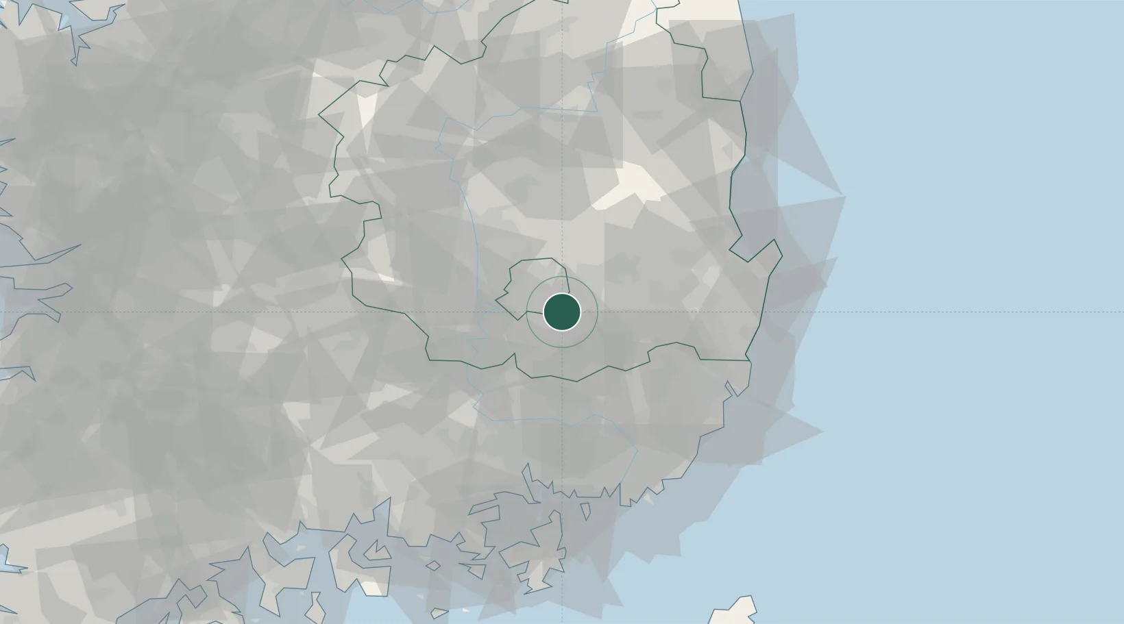
Hub Profile
Place type
Populated place
Region
Jeollabuk-do
Time zone
Asia/Seoul
Elevation
8 m
Location
Nearby Logistics Neighbours
Cities
- 1Yongsan13 km
- 2Daegu15 km
- 3Dalseong-gun/Daegu17 km
- 4Cheongdo-gun19 km
- 5Yeongcheon26 km
Airports
- 1Daegu International Airport13 km
- 2Ulsan Airport60 km
- 3Pohang Airport (G-815/K-3)65 km
- 4Gimhae International Airport71 km
- 5Yecheon Airbase99 km
Trade Zones
DatabookThe Record of Consolidated Knowledge
South Korea beyond logistics?