Industrial Complex · South Korea

Eogok General Industrial Complex
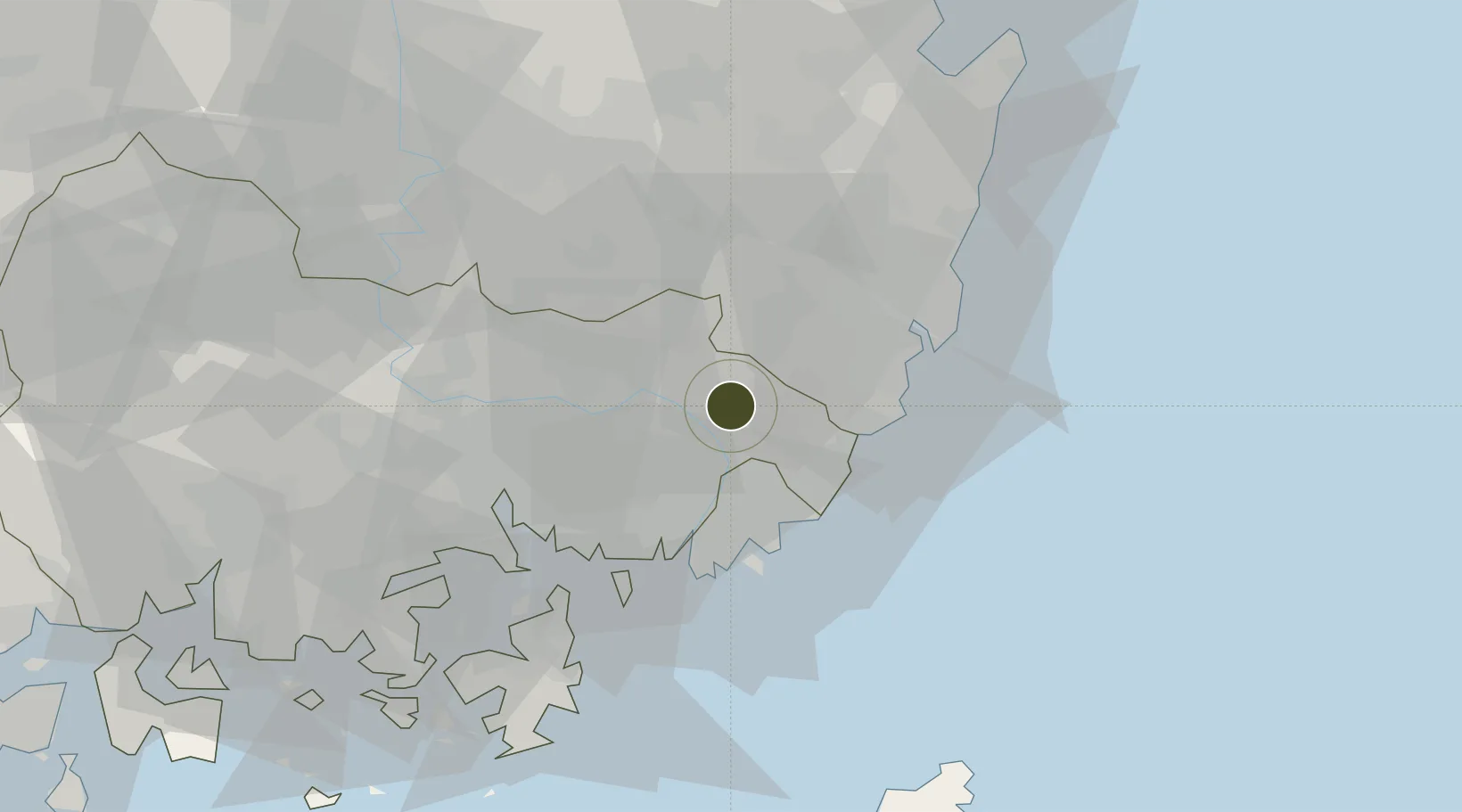
35.3705°, 129.0292°
127 ha
Zone area
30.1 km
Nearest port
22.8 km
Nearest airport

Gateway access

Nearest neighbours — logibook spatial index (haversine) over the source coordinates

Zone profile

Zone type
Industrial Complex
the World Bank SEZ database
Region
South Gyeongsang
the World Bank SEZ database
Established
2000
the World Bank SEZ database
Management
Public agency
the World Bank SEZ database
Operator
Yangsan-si city administration
the World Bank SEZ database
Regulatory authority
National, provincial or city-level governments
the World Bank SEZ database
Legal framework
Industrial Sites and Development Act, and the Industrial Placement and Factory Act
the World Bank SEZ database

Location

Location of KOR41
Natural Earth 10m (public domain) · South Gyeongsang · KOR41 · 35.37, 129.03GoogleOSMYandex

Fiscal & incentives

Corporate tax
22%
the World Bank SEZ database
Tax relief
100% exempt
the World Bank SEZ database
Relief duration
5 years
the World Bank SEZ database
VAT
No exemption
the World Bank SEZ database
Import duty (inputs)
0% exempt
the World Bank SEZ database
Import duty (capex)
100% exempt
the World Bank SEZ database
Profit repatriation
No exemption
the World Bank SEZ database
Capital gains
No exemption
the World Bank SEZ database
Withholding tax
No exemption
the World Bank SEZ database
Min. investment
$30M
the World Bank SEZ database
Min. export
0%
the World Bank SEZ database
Employment incentive
Employment and training subsidies available to companies that newly employ 20 more individuals
the World Bank SEZ database
Developer incentive
No established framework
the World Bank SEZ database

Nearby Logistics Neighbours

Ports
  1. 1Busan30 km
  2. 2Ulsan35 km
  3. 3Chinae43 km
  4. 4Masan47 km
  5. 5Pohang82 km
Nearest neighbours — logibook spatial index (haversine) over the source coordinates
Airports
  1. 1Gimhae International Airport23 km
  2. 2Ulsan Airport38 km
  3. 3Daegu International Airport67 km
  4. 4Pohang Airport (G-815/K-3)77 km
  5. 5Sacheon Airport / Sacheon Air Base92 km
Nearest neighbours — logibook spatial index (haversine) over the source coordinates
Cities
  1. 1Yangsan4 km
  2. 2Gijang-gun/Busan21 km
  3. 3Hapcheon-gun21 km
  4. 4Busanjin-Gu25 km
  5. 5Koryong25 km
Nearest neighbours — logibook spatial index (haversine) over the source coordinates
Trade Zones
  1. 1Yangsan General Industrial Complex0 km
  2. 2Busan Regulation-Free Zone23 km
  3. 3West Busan Distribution District24 km
  4. 4Centum City General Industrial Complex24 km
  5. 5Mieum General Industrial Complex25 km
Nearest neighbours — logibook spatial index (haversine) over the source coordinates
DatabookThe Record of Consolidated Knowledge
South Korea beyond logistics?
Browse databook

All Sources

Trade Zonesthe World Bank SEZ database
CC BY 4.0
Portsthe NGA World Port Index
Public domain (US gov)
AirportsOurAirports
Public domain
LocationsUN/LOCODE
UN/LOCODE — free
← South Korea trade zones