Medium airport · South Korea

Pohang Airport (G-815/K-3)RKTH
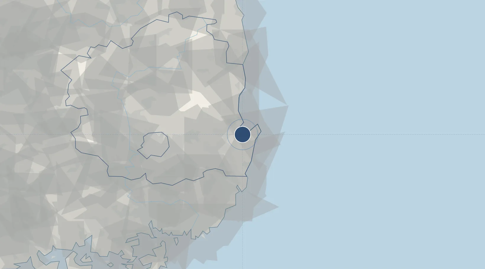
35.9880°, 129.4204°
7,000 ft
Longest runway
1
Runways
70 ft
Elevation

Runway & Layout

Pohang Airport (G-815/K-3) runway & taxiway layout
Runway & taxiway layout — OpenStreetMap (ODbL) / OurAirports

Radio Frequencies

ATIS
128.725 MHz
TWR
118.05 MHz
GND
126.2 MHz
A/D
124.25 MHz
APP/DEP
ACP
120 MHz
BRICKWALL
OurAirports

Navaids

KPO VORTAC Pohang 112.50 MHz
NPH VORTAC Pohang (Navy) 109.60 MHz
UT NDB Pohang 330 kHz
OurAirports

Runways · 1

RunwayDimensions SurfaceTrue headingLit
10/28 7,000 × 150ft Concrete 089°
OurAirports

Airport Specifications

IATA code
KPO
OurAirports
ICAO code
RKTH
OurAirports
Airport class
Medium airport
OurAirports
Scheduled service
Yes
OurAirports
Runway surface
Concrete
OurAirports
Served city
Pohang
OurAirports

Location

Location of RKTH
Natural Earth 10m (public domain) · North Gyeongsang · RKTH · 35.99, 129.42GoogleOSMYandex

Nearby Logistics Neighbours

Airports
  1. 1Ulsan Airport44 km
  2. 2Daegu International Airport70 km
  3. 3Gimhae International Airport100 km
  4. 4Yecheon Airbase120 km
  5. 5Sacheon Airport / Sacheon Air Base158 km
Nearest neighbours — logibook spatial index (haversine) over the source coordinates
Cities
  1. 1Guryongpo12 km
  2. 2Pohang13 km
  3. 3Sinhang/Pohang16 km
  4. 4Gyeongju24 km
  5. 5Ganggu40 km
Nearest neighbours — logibook spatial index (haversine) over the source coordinates
Ports
  1. 1Pohang8 km
  2. 2Ulsan60 km
  3. 3Busan105 km
  4. 4Chinae118 km
  5. 5Masan118 km
Nearest neighbours — logibook spatial index (haversine) over the source coordinates
Trade Zones
  1. 1Pohang 4 (GIC - includes FIZ)5 km
  2. 2Pohang Foreign Investment Zone8 km
  3. 3Pohang Port Free Trade Zone8 km
  4. 4Pohang Fusion Tech District15 km
  5. 5Yeongcheon Industry District44 km
Nearest neighbours — logibook spatial index (haversine) over the source coordinates
DatabookThe Record of Consolidated Knowledge
South Korea beyond logistics?
Browse databook

All Sources

AirportsOurAirports
Public domain
Portsthe NGA World Port Index
Public domain (US gov)
LocationsUN/LOCODE
UN/LOCODE — free
Trade Zonesthe World Bank SEZ database
CC BY 4.0
Trade ZonesOpen Zone Map
CC BY
InfrastructureOpenStreetMap
ODbL 1.0
← South Korea airports