Industrial Complex · South Korea

Gyeongsan 1 General Industrial Complex
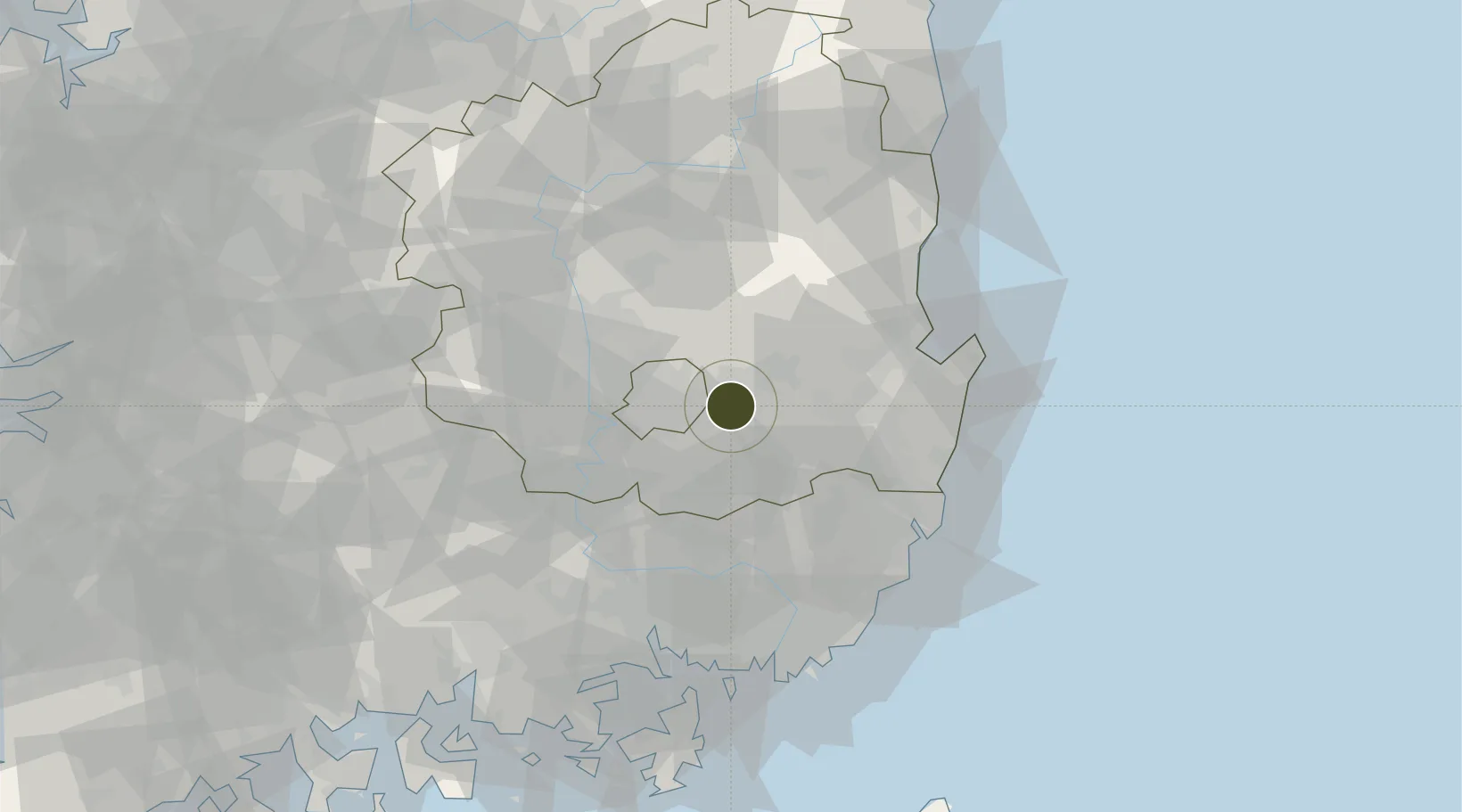
35.8682°, 128.8284°
158 ha
Zone area
53.9 km
Nearest port
15.7 km
Nearest airport

Gateway access

Nearest neighbours — logibook spatial index (haversine) over the source coordinates

Zone profile

Zone type
Industrial Complex
the World Bank SEZ database
Region
North Gyeongsang
the World Bank SEZ database
Established
1994
the World Bank SEZ database
Management
Public agency
the World Bank SEZ database
Operator
Gyeongsan Industrial Complex Corporation
the World Bank SEZ database
Regulatory authority
National, provincial or city-level governments
the World Bank SEZ database
Legal framework
Industrial Sites and Development Act, and the Industrial Placement and Factory Act
the World Bank SEZ database

Location

Location of KOR56
Natural Earth 10m (public domain) · North Gyeongsang · KOR56 · 35.87, 128.83GoogleOSMYandex

Fiscal & incentives

Corporate tax
22%
the World Bank SEZ database
Tax relief
100% exempt
the World Bank SEZ database
Relief duration
5 years
the World Bank SEZ database
VAT
No exemption
the World Bank SEZ database
Import duty (inputs)
0% exempt
the World Bank SEZ database
Import duty (capex)
100% exempt
the World Bank SEZ database
Profit repatriation
No exemption
the World Bank SEZ database
Capital gains
No exemption
the World Bank SEZ database
Withholding tax
No exemption
the World Bank SEZ database
Min. investment
$30M
the World Bank SEZ database
Min. export
0%
the World Bank SEZ database
Employment incentive
Employment and training subsidies available to companies that newly employ 20 more individuals
the World Bank SEZ database
Developer incentive
No established framework
the World Bank SEZ database

Nearby Logistics Neighbours

Ports
  1. 1Pohang54 km
  2. 2Ulsan70 km
  3. 3Masan80 km
  4. 4Chinae83 km
  5. 5Busan87 km
Nearest neighbours — logibook spatial index (haversine) over the source coordinates
Airports
  1. 1Daegu International Airport16 km
  2. 2Pohang Airport (G-815/K-3)55 km
  3. 3Ulsan Airport56 km
  4. 4Gimhae International Airport77 km
  5. 5Yecheon Airbase95 km
Nearest neighbours — logibook spatial index (haversine) over the source coordinates
Cities
  1. 1Gyeongsan11 km
  2. 2Yongsan12 km
  3. 3Yeongcheon15 km
  4. 4Daegu22 km
  5. 5Dalseong-gun/Daegu26 km
Nearest neighbours — logibook spatial index (haversine) over the source coordinates
Trade Zones
  1. 1Gyeongsan 2 General Industrial Complex5 km
  2. 2Gyeongsan Knowledge Industry District8 km
  3. 3Sinseo Medivalley9 km
  4. 4Yeongcheon Industry District12 km
  5. 5Suseong Medical District14 km
Nearest neighbours — logibook spatial index (haversine) over the source coordinates
DatabookThe Record of Consolidated Knowledge
South Korea beyond logistics?
Browse databook

All Sources

Trade Zonesthe World Bank SEZ database
CC BY 4.0
Portsthe NGA World Port Index
Public domain (US gov)
AirportsOurAirports
Public domain
LocationsUN/LOCODE
UN/LOCODE — free
← South Korea trade zones