Transport Functions
Port
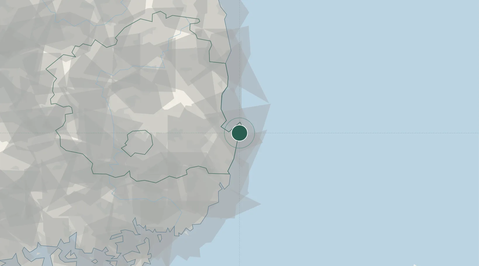
Hub Profile
Place type
District seat
Region
Gyeongsangbuk-do
Time zone
Asia/Seoul
Elevation
7 m
Location
Nearby Logistics Neighbours
Cities
- 1Sinhang/Pohang11 km
- 2Pohang17 km
- 3Gyeongju34 km
- 4Ganggu43 km
- 5Yeongdeok-gun50 km
Airports
- 1Pohang Airport (G-815/K-3)12 km
- 2Ulsan Airport47 km
- 3Daegu International Airport81 km
- 4Gimhae International Airport105 km
- 5Yecheon Airbase129 km
Trade Zones
DatabookThe Record of Consolidated Knowledge
South Korea beyond logistics?