Free Trade Zone · South Korea

Pohang Port Free Trade Zone Active
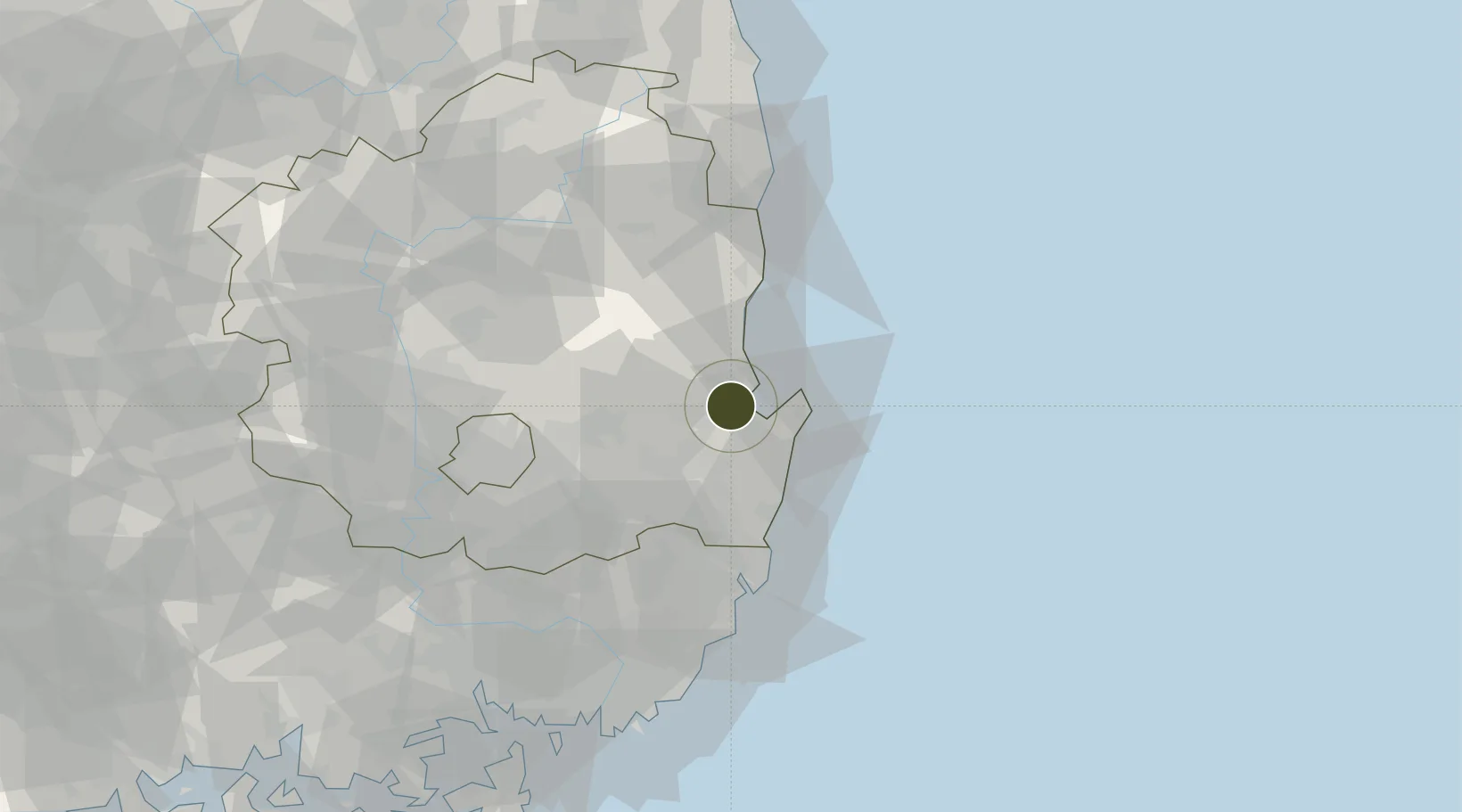
36.0311°, 129.3462°
201 ha
Zone area
3.9 km
Nearest port
8.2 km
Nearest airport

Gateway access

Nearest neighbours — logibook spatial index (haversine) over the source coordinates

Zone profile

Zone type
Free Trade Zone
Open Zone Map
Region
North Gyeongsang
Open Zone Map
Status
Active
Open Zone Map
Management
Public
Open Zone Map
Operator
Daegu-Gyeongbuk Free Economic Zone Authority
Open Zone Map
Legal framework
Act On Designation And Management Of Free Trade Zones Expand Act No. 14113, Mar. 29, 2016.
Open Zone Map

Location

Location of ozm-4267
Natural Earth 10m (public domain) · North Gyeongsang · ozm-4267 · 36.03, 129.35GoogleOSMYandex

Nearby Logistics Neighbours

Ports
  1. 1Pohang4 km
  2. 2Ulsan65 km
  3. 3Busan107 km
  4. 4Masan118 km
  5. 5Chinae118 km
Nearest neighbours — logibook spatial index (haversine) over the source coordinates
Airports
  1. 1Pohang Airport (G-815/K-3)8 km
  2. 2Ulsan Airport49 km
  3. 3Daegu International Airport64 km
  4. 4Gimhae International Airport102 km
  5. 5Yecheon Airbase111 km
Nearest neighbours — logibook spatial index (haversine) over the source coordinates
Cities
  1. 1Pohang12 km
  2. 2Guryongpo19 km
  3. 3Sinhang/Pohang19 km
  4. 4Gyeongju23 km
  5. 5Ganggu36 km
Nearest neighbours — logibook spatial index (haversine) over the source coordinates
Trade Zones
  1. 1Pohang Foreign Investment Zone1 km
  2. 2Pohang Fusion Tech District8 km
  3. 3Pohang 4 (GIC - includes FIZ)9 km
  4. 4Yeongcheon Industry District38 km
  5. 5Yeongcheon High-tech Park39 km
Nearest neighbours — logibook spatial index (haversine) over the source coordinates
DatabookThe Record of Consolidated Knowledge
South Korea beyond logistics?
Browse databook

All Sources

Trade ZonesOpen Zone Map
CC BY
Portsthe NGA World Port Index
Public domain (US gov)
AirportsOurAirports
Public domain
LocationsUN/LOCODE
UN/LOCODE — free
← South Korea trade zones