Free Trade Zone · South Korea

Ulsan Free Trade Zone Active
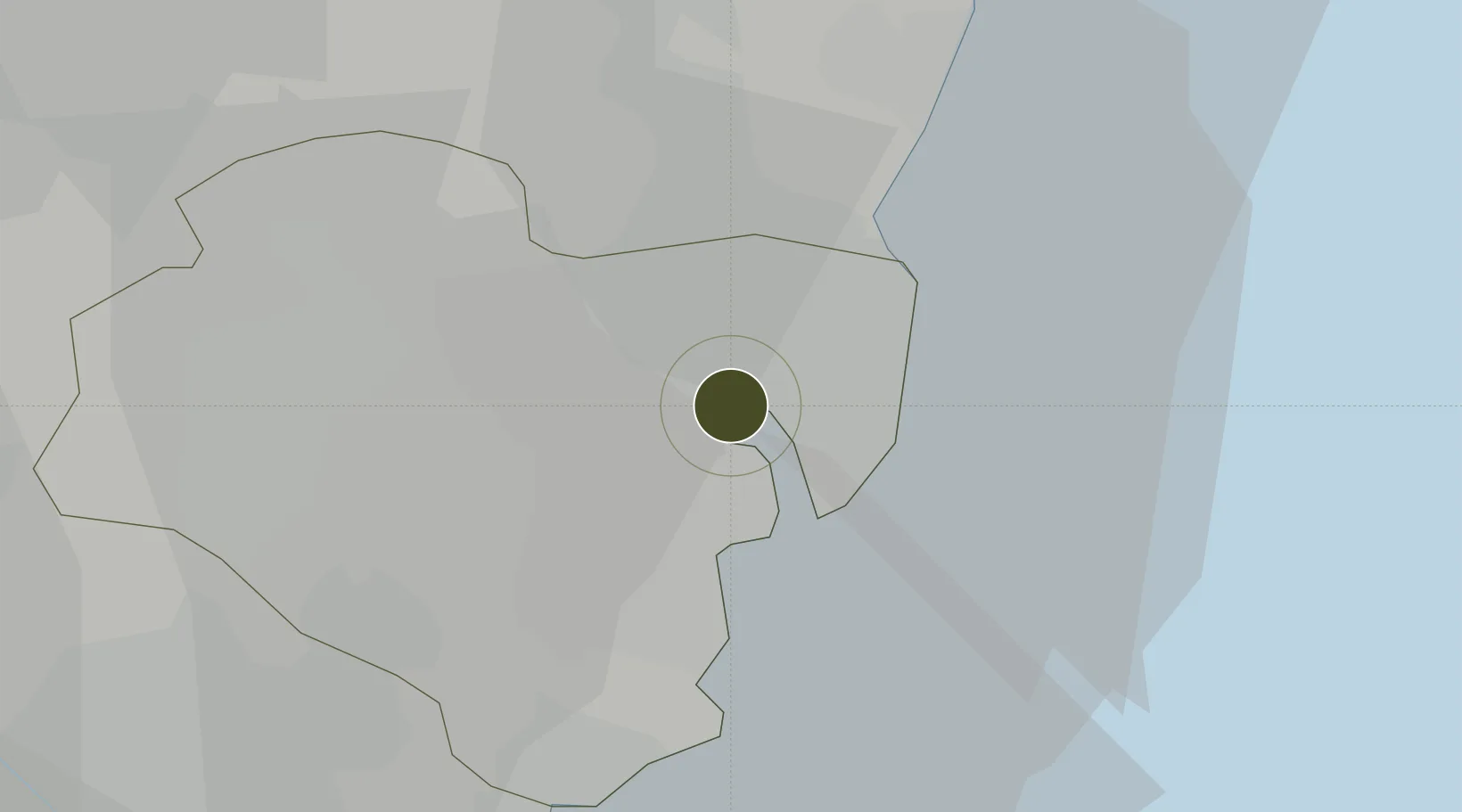
35.5331°, 129.3659°
83 ha
Zone area
9.7 km
Nearest port
6.8 km
Nearest airport

Gateway access

Nearest neighbours — logibook spatial index (haversine) over the source coordinates

Zone profile

Zone type
Free Trade Zone
Open Zone Map
Region
Ulsan
Open Zone Map
Status
Active
Open Zone Map
Management
Public
Open Zone Map
Operator
Ulsan Free Trade Zone Administration Authority: Ministry of Trade Industry and Energy
Open Zone Map
Legal framework
Act On Designation And Management Of Free Trade Zones Expand Act No. 14113, Mar. 29, 2016.
Open Zone Map

Location

Location of ozm-4259
Natural Earth 10m (public domain) · Ulsan · ozm-4259 · 35.53, 129.37GoogleOSMYandex

Nearby Logistics Neighbours

Ports
  1. 1Ulsan10 km
  2. 2Busan57 km
  3. 3Pohang58 km
  4. 4Chinae79 km
  5. 5Masan82 km
Nearest neighbours — logibook spatial index (haversine) over the source coordinates
Airports
  1. 1Ulsan Airport7 km
  2. 2Pohang Airport (G-815/K-3)51 km
  3. 3Gimhae International Airport55 km
  4. 4Daegu International Airport76 km
  5. 5Sacheon Airport / Sacheon Air Base127 km
Nearest neighbours — logibook spatial index (haversine) over the source coordinates
Cities
  1. 1Mipo/Ulsan6 km
  2. 2Ulsan9 km
  3. 3Onsan/Ulsan11 km
  4. 4Gijang-gun/Busan35 km
  5. 5Yangsan37 km
Nearest neighbours — logibook spatial index (haversine) over the source coordinates
DatabookThe Record of Consolidated Knowledge
South Korea beyond logistics?
Browse databook

All Sources

Trade ZonesOpen Zone Map
CC BY
Portsthe NGA World Port Index
Public domain (US gov)
AirportsOurAirports
Public domain
LocationsUN/LOCODE
UN/LOCODE — free
← South Korea trade zones