UN/LOCODE hub · South Korea
KRGJU
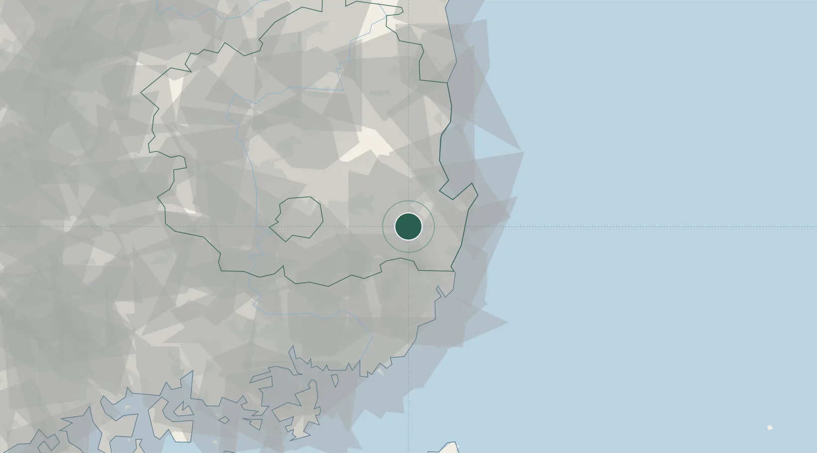
Gyeongju
35.8500°, 129.2167°
245,365
Population
2
Transport functions
Transport Functions
Rail
Road
Hub Profile
Place type
Populated place
Region
Gyeongsangbuk-do
Population
245,365
Time zone
Asia/Seoul
Elevation
45 m
Location
Nearby Logistics Neighbours
Cities
- 1Yeongcheon29 km
- 2Yongsan33 km
- 3Guryongpo34 km
- 4Pohang35 km
- 5Sinhang/Pohang40 km
Airports
- 1Pohang Airport (G-815/K-3)24 km
- 2Ulsan Airport31 km
- 3Daegu International Airport51 km
- 4Gimhae International Airport79 km
- 5Yecheon Airbase117 km
Trade Zones
DatabookThe Record of Consolidated Knowledge
South Korea beyond logistics?