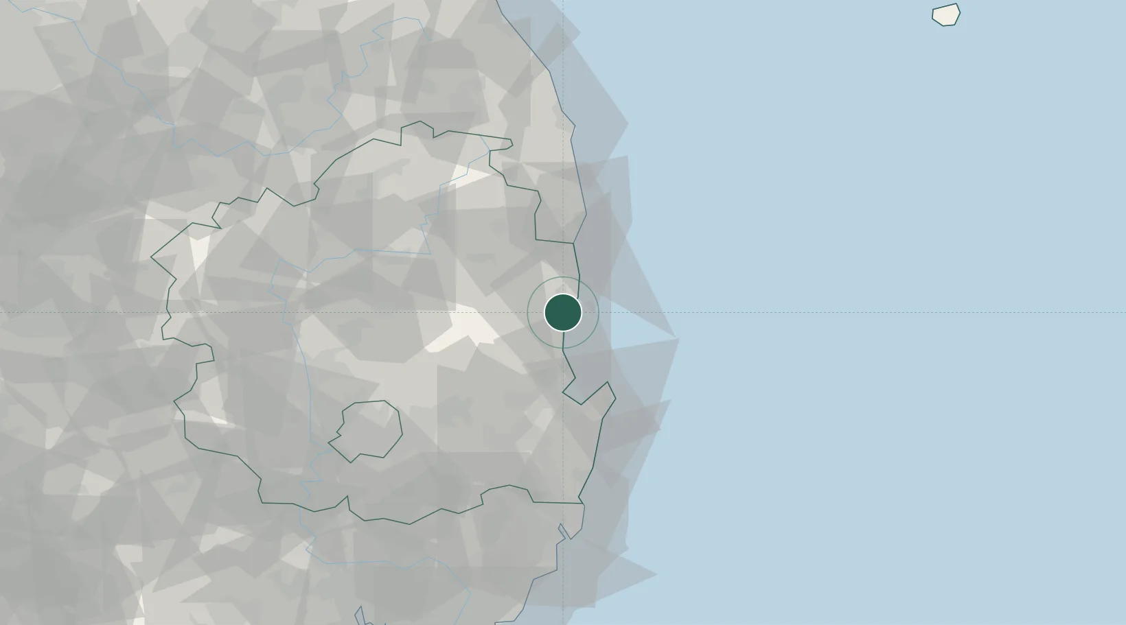
UN/LOCODE hub · South Korea
KRGGU

Ganggu

36.3500°, 129.3833°
1
Transport functions

Transport Functions

Port
UN/LOCODE

Hub Profile

Place type
Populated place
GeoNames
Region
Gyeongsangbuk-do
GeoNames
Time zone
Asia/Seoul
GeoNames
Elevation
15 m
GeoNames

Location

Location of KRGGU
Natural Earth 10m (public domain) · Gyeongsangbuk-do · KRGGU · 36.35, 129.38GoogleOSMYandex

Nearby Logistics Neighbours

Cities
  1. 1Yeongdeok-gun6 km
  2. 2Cheongsong-gun10 km
  3. 3Pohang28 km
  4. 4Sinhang/Pohang33 km
  5. 5Hupo36 km
Nearest neighbours — logibook spatial index (haversine) over the source coordinates
Ports
  1. 1Pohang33 km
  2. 2Ulsan100 km
  3. 3Tonghae133 km
  4. 4Mukho137 km
  5. 5Busan143 km
Nearest neighbours — logibook spatial index (haversine) over the source coordinates
Airports
  1. 1Pohang Airport (G-815/K-3)40 km
  2. 2Daegu International Airport83 km
  3. 3Ulsan Airport84 km
  4. 4Yecheon Airbase98 km
  5. 5Gimhae International Airport136 km
Nearest neighbours — logibook spatial index (haversine) over the source coordinates
Trade Zones
  1. 1Pohang Fusion Tech District28 km
  2. 2Pohang Port Free Trade Zone36 km
  3. 3Pohang Foreign Investment Zone37 km
  4. 4Pohang 4 (GIC - includes FIZ)43 km
  5. 5Yeongcheon High-tech Park59 km
Nearest neighbours — logibook spatial index (haversine) over the source coordinates
DatabookThe Record of Consolidated Knowledge
South Korea beyond logistics?
Browse databook

All Sources

LocationsUN/LOCODE
UN/LOCODE — free
Portsthe NGA World Port Index
Public domain (US gov)
AirportsOurAirports
Public domain
Trade Zonesthe World Bank SEZ database
CC BY 4.0
Trade ZonesOpen Zone Map
CC BY
← South Korea locations