UN/LOCODE hub · South Korea
KRKPO
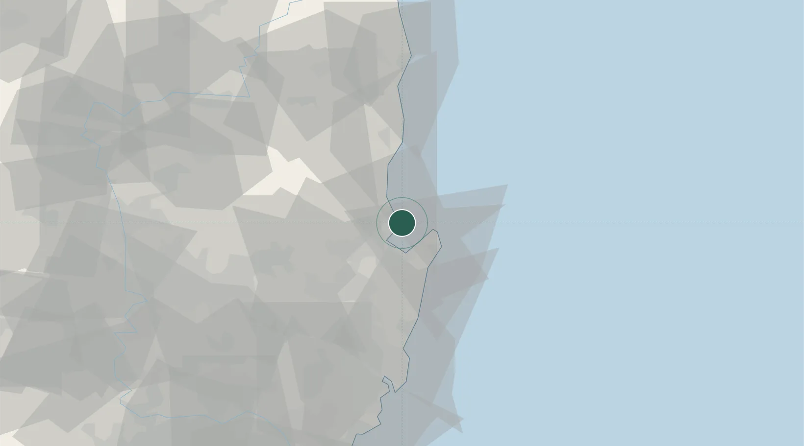
Pohang
36.1056°, 129.4392°
492,041
Population
4
Transport functions
1
Container terminals
Transport Functions
Port
Rail
Road
Airport
Hub Profile
Place type
Provincial seat
Region
Gyeongsangbuk-do
Population
492,041
Time zone
Asia/Seoul
Elevation
5 m
Logistics facilities
1
Container terminals
1
Location
Nearby Logistics Neighbours
Cities
- 1Sinhang/Pohang10 km
- 2Guryongpo17 km
- 3Ganggu28 km
- 4Yeongdeok-gun34 km
- 5Gyeongju35 km
Airports
- 1Pohang Airport (G-815/K-3)13 km
- 2Ulsan Airport58 km
- 3Daegu International Airport74 km
- 4Gimhae International Airport113 km
- 5Yecheon Airbase114 km
Trade Zones
DatabookThe Record of Consolidated Knowledge
South Korea beyond logistics?