Transport Functions
Rail
Road
Hub Profile
Region
47
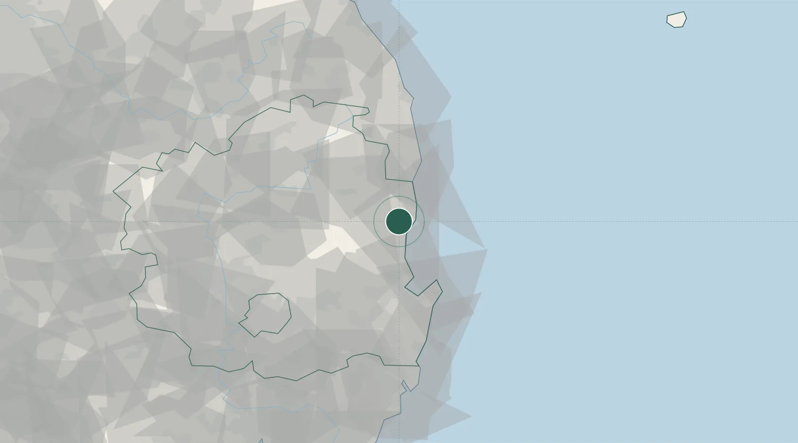
Location
Nearby Logistics Neighbours
Cities
- 1Ganggu6 km
- 2Cheongsong-gun7 km
- 3Hupo31 km
- 4Pohang34 km
- 5Sinhang/Pohang40 km
Airports
- 1Pohang Airport (G-815/K-3)46 km
- 2Daegu International Airport84 km
- 3Ulsan Airport90 km
- 4Yecheon Airbase93 km
- 5Gimhae International Airport141 km
Trade Zones
DatabookThe Record of Consolidated Knowledge
South Korea beyond logistics?