Industrial Complex · South Korea

Pohang 4 (GIC - includes FIZ)
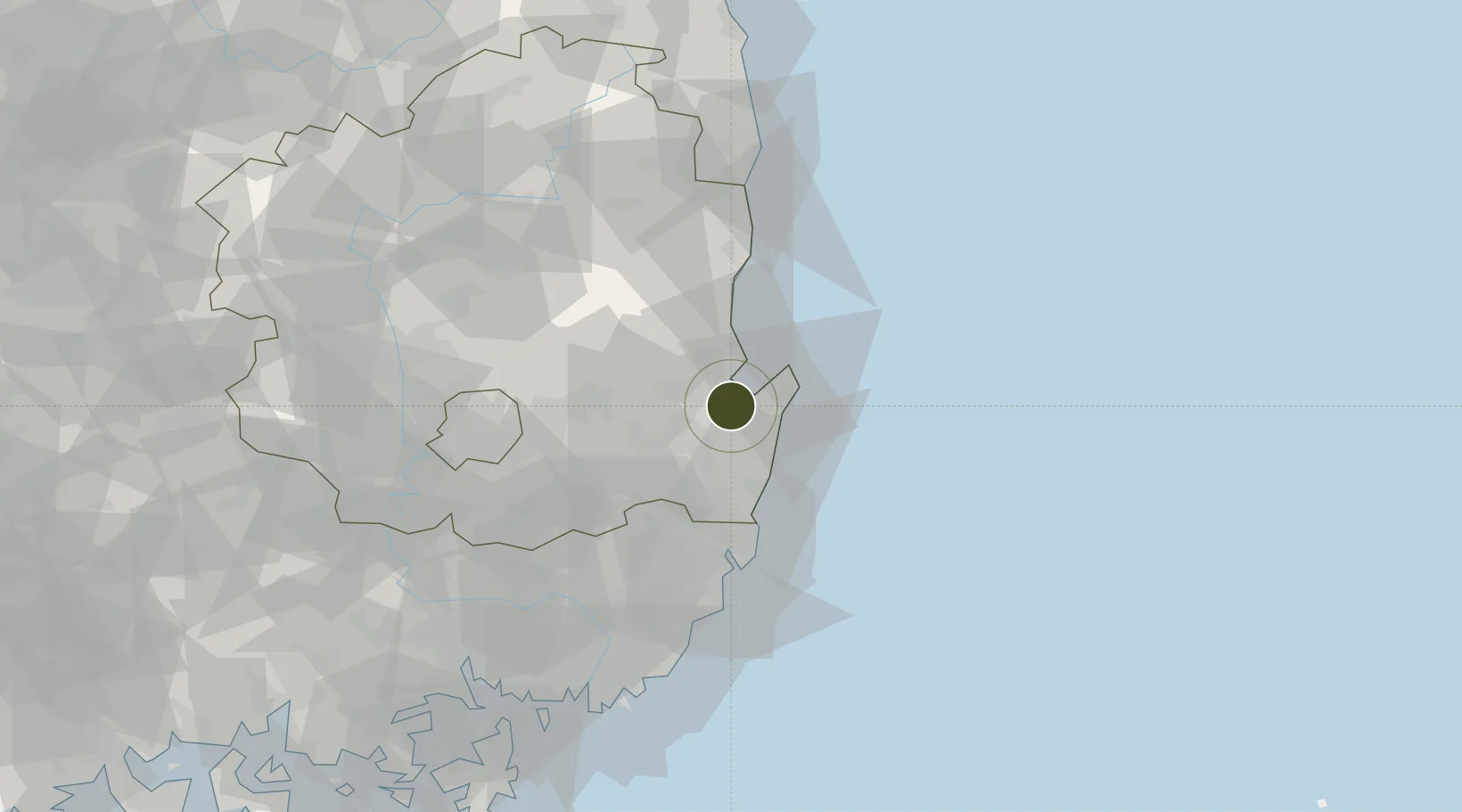
35.9599°, 129.3832°
205 ha
Zone area
10.0 km
Nearest port
4.6 km
Nearest airport

Gateway access

Nearest neighbours — logibook spatial index (haversine) over the source coordinates

Zone profile

Zone type
Industrial Complex
the World Bank SEZ database
Region
North Gyeongsang
the World Bank SEZ database
Established
2006
the World Bank SEZ database
Management
State-owned enterprise
the World Bank SEZ database
Operator
Pohang Steel Industrial Complex Corp
the World Bank SEZ database
Regulatory authority
National, provincial or city-level governments
the World Bank SEZ database
Legal framework
Industrial Sites and Development Act, and the Industrial Placement and Factory Act
the World Bank SEZ database

Location

Location of KOR86
Natural Earth 10m (public domain) · North Gyeongsang · KOR86 · 35.96, 129.38GoogleOSMYandex

Fiscal & incentives

Corporate tax
22%
the World Bank SEZ database
Tax relief
100% exempt
the World Bank SEZ database
Relief duration
5 years
the World Bank SEZ database
VAT
No exemption
the World Bank SEZ database
Import duty (inputs)
0% exempt
the World Bank SEZ database
Import duty (capex)
100% exempt
the World Bank SEZ database
Profit repatriation
No exemption
the World Bank SEZ database
Capital gains
No exemption
the World Bank SEZ database
Withholding tax
No exemption
the World Bank SEZ database
Min. investment
$30M
the World Bank SEZ database
Min. export
0%
the World Bank SEZ database
Employment incentive
Employment and training subsidies available to companies that newly employ 20 more individuals
the World Bank SEZ database
Developer incentive
No established framework
the World Bank SEZ database

Nearby Logistics Neighbours

Ports
  1. 1Pohang10 km
  2. 2Ulsan57 km
  3. 3Busan101 km
  4. 4Chinae113 km
  5. 5Masan114 km
Nearest neighbours — logibook spatial index (haversine) over the source coordinates
Airports
  1. 1Pohang Airport (G-815/K-3)5 km
  2. 2Ulsan Airport41 km
  3. 3Daegu International Airport66 km
  4. 4Gimhae International Airport96 km
  5. 5Yecheon Airbase119 km
Nearest neighbours — logibook spatial index (haversine) over the source coordinates
Cities
  1. 1Guryongpo15 km
  2. 2Pohang17 km
  3. 3Gyeongju19 km
  4. 4Sinhang/Pohang20 km
  5. 5Yeongcheon41 km
Nearest neighbours — logibook spatial index (haversine) over the source coordinates
Trade Zones
  1. 1Pohang Foreign Investment Zone8 km
  2. 2Pohang Port Free Trade Zone9 km
  3. 3Pohang Fusion Tech District17 km
  4. 4Yeongcheon Industry District40 km
  5. 5Yeongcheon High-tech Park41 km
Nearest neighbours — logibook spatial index (haversine) over the source coordinates
DatabookThe Record of Consolidated Knowledge
South Korea beyond logistics?
Browse databook

All Sources

Trade Zonesthe World Bank SEZ database
CC BY 4.0
Portsthe NGA World Port Index
Public domain (US gov)
AirportsOurAirports
Public domain
LocationsUN/LOCODE
UN/LOCODE — free
← South Korea trade zones