Transport Functions
Road
Multimodal
Hub Profile
Region
45
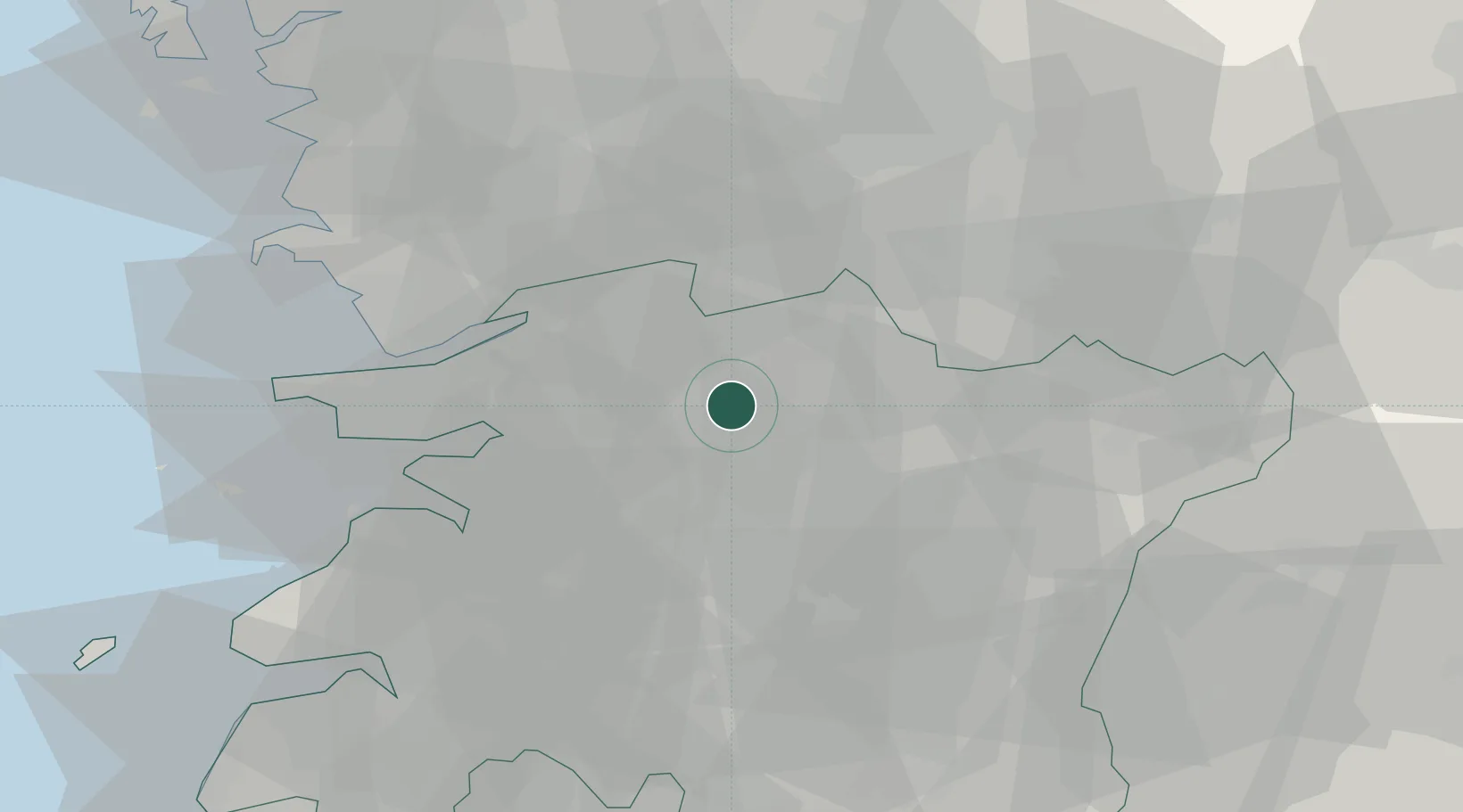
Location
Nearby Logistics Neighbours
Cities
- 1Iksan11 km
- 2Jeonju13 km
- 3Chonju13 km
- 4Sunchang-gun26 km
- 5Gimje30 km
Ports
- 1Kunsan48 km
- 2Pyeongtaek Hang123 km
- 3Gwangyang Hang126 km
- 4Daesan Hang138 km
- 5Mokpo146 km
Airports
DatabookThe Record of Consolidated Knowledge
South Korea beyond logistics?