Transport Functions
Rail
Road
Airport
Hub Profile
Region
45
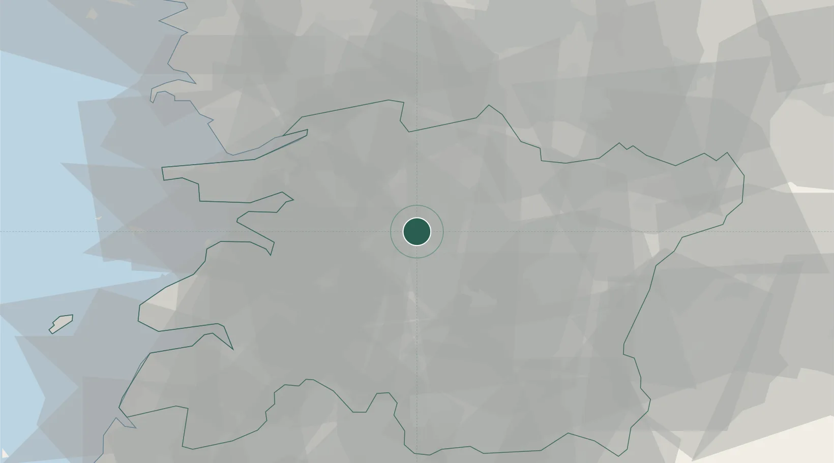
Location
Nearby Logistics Neighbours
Cities
- 1Jeonju2 km
- 2Bongdong-eup/Wanju-gun13 km
- 3Sunchang-gun16 km
- 4Iksan19 km
- 5Yongi23 km
Ports
- 1Kunsan50 km
- 2Gwangyang Hang115 km
- 3Mokpo134 km
- 4Pyeongtaek Hang135 km
- 5Masan148 km
Airports
DatabookThe Record of Consolidated Knowledge
South Korea beyond logistics?