Transport Functions
Rail
Road
Hub Profile
Place type
Regional capital
Region
Jeollabuk-do
Population
629,618
Time zone
Asia/Seoul
Elevation
44 m
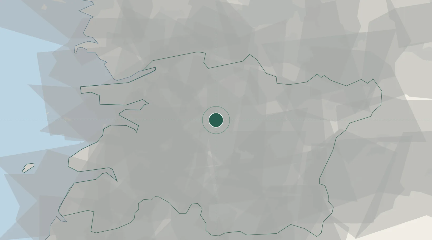
Location
Nearby Logistics Neighbours
Cities
- 1Chonju2 km
- 2Bongdong-eup/Wanju-gun13 km
- 3Sunchang-gun15 km
- 4Iksan20 km
- 5Yongi24 km
Ports
- 1Kunsan52 km
- 2Gwangyang Hang115 km
- 3Mokpo134 km
- 4Pyeongtaek Hang135 km
- 5Masan146 km
Airports
DatabookThe Record of Consolidated Knowledge
South Korea beyond logistics?