Transport Functions
Rail
Road
Hub Profile
Place type
Populated place
Region
Gyeongsangbuk-do
Time zone
Asia/Seoul
Elevation
91 m
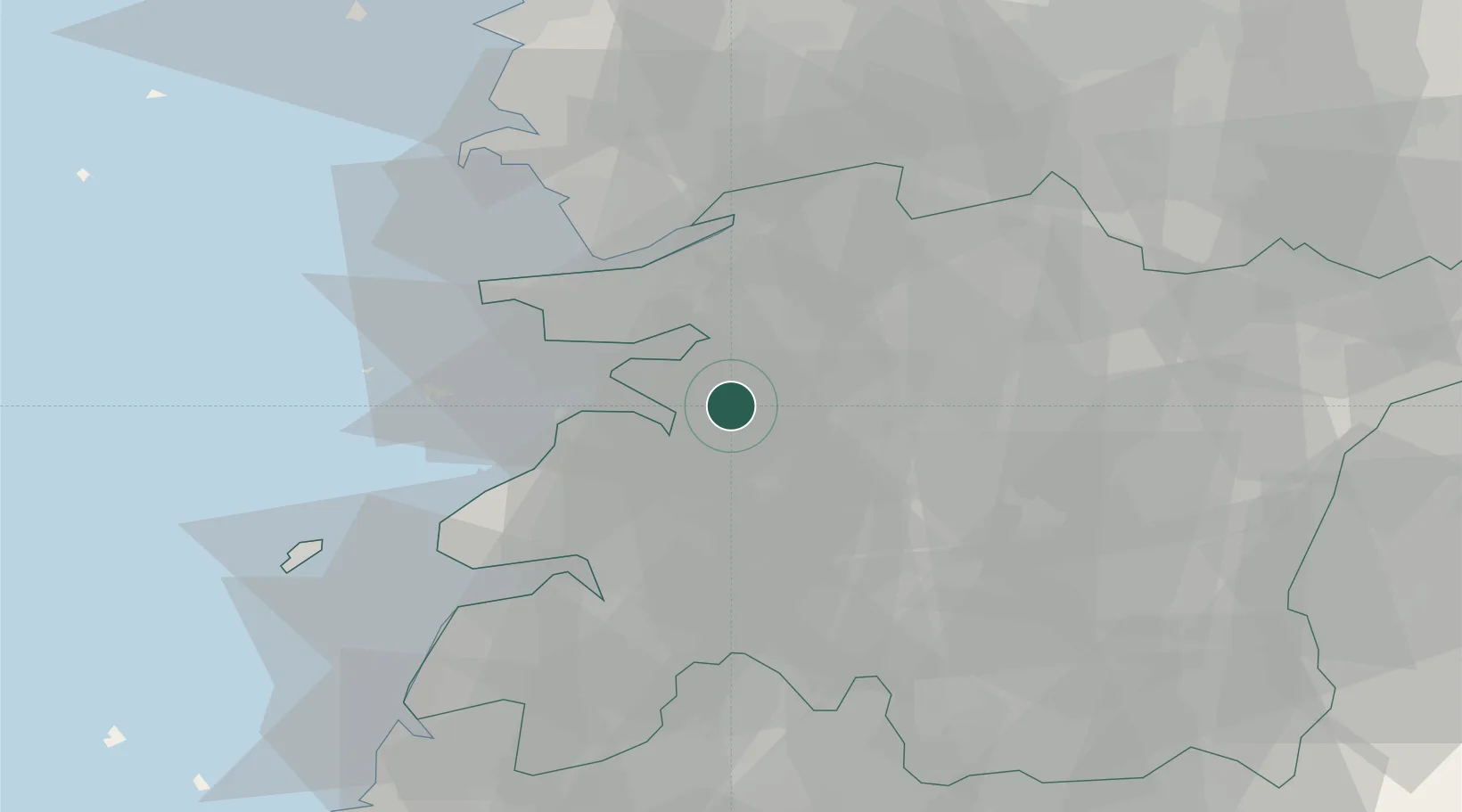
Location
Nearby Logistics Neighbours
Cities
- 1Gangjin-gun9 km
- 2Buan-gun15 km
- 3Yongi17 km
- 4Iksan24 km
- 5Chonju24 km
Ports
- 1Kunsan30 km
- 2Mokpo121 km
- 3Gwangyang Hang128 km
- 4Pyeongtaek Hang134 km
- 5Daesan Hang142 km
Airports
Trade Zones
DatabookThe Record of Consolidated Knowledge
South Korea beyond logistics?