Transport Functions
Rail
Road
Hub Profile
Place type
Populated place
Region
Jeollabuk-do
Time zone
Asia/Seoul
Elevation
25 m
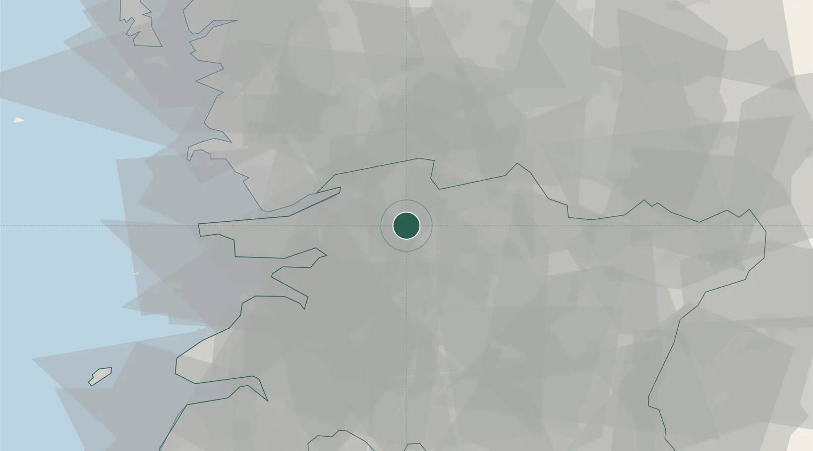
Location
Nearby Logistics Neighbours
Cities
- 1Bongdong-eup/Wanju-gun11 km
- 2Chonju19 km
- 3Jeonju20 km
- 4Gimje24 km
- 5Gangjin-gun32 km
Ports
- 1Kunsan38 km
- 2Pyeongtaek Hang117 km
- 3Daesan Hang130 km
- 4Gwangyang Hang134 km
- 5Mokpo144 km
Airports
DatabookThe Record of Consolidated Knowledge
South Korea beyond logistics?