Transport Functions
Multimodal
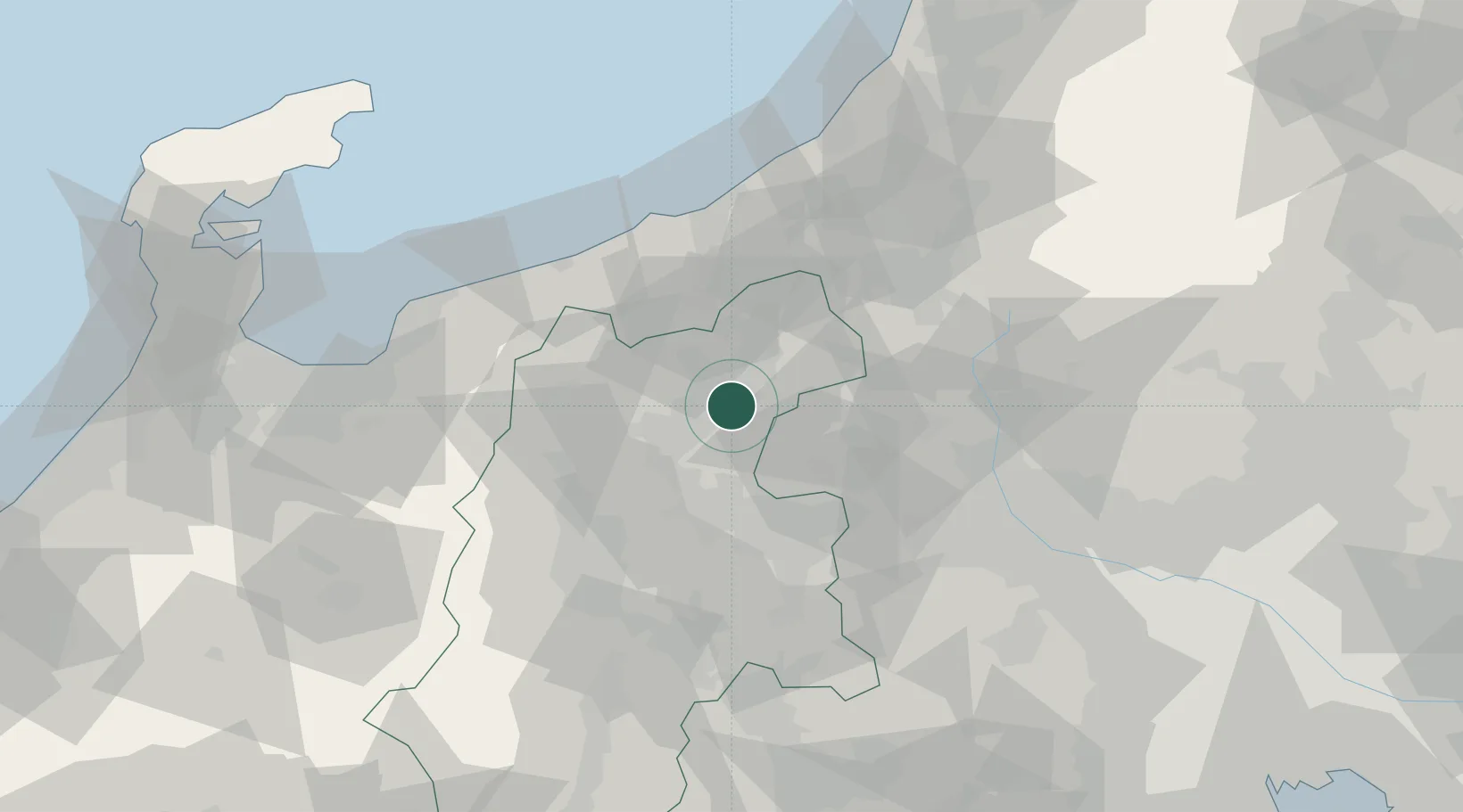
Hub Profile
Place type
Provincial seat
Region
Nagano
Population
54,022
Time zone
Asia/Tokyo
Elevation
401 m
Location
Nearby Logistics Neighbours
Cities
- 1Obuse, Nagano6 km
- 2Omachi22 km
- 3Tsumagoi, Gunma23 km
- 4Shinko24 km
- 5Nozawaonsen31 km
Ports
- 1Himekawa60 km
- 2Naoetsu Ko60 km
- 3Kashiwazaki82 km
- 4Fushiki-Toyama106 km
- 5Nanao Ko127 km
Airports
- 1Shinshu-Matsumoto Airport64 km
- 2Toyama Kitokito Airport101 km
- 3Iruma Air Base133 km
- 4Yokota Air Base136 km
- 5Utsunomiya Airport140 km
Trade Zones
- 1Gunma Environmentally Friendly Livestock Promotion Special Zone55 km
- 2Gunma Cancer Treatment Technology Regional Revitalization Comprehensive Special Zone69 km
- 3Nagaoka Independent Local Community Creation Special Zone92 km
- 4Toyama Community-based Welfare Promotion Special Zone109 km
- 5Minami-Alps Competitiveness and Sustainability Special Zone117 km
DatabookThe Record of Consolidated Knowledge
Japan beyond logistics?