Transport Functions
Multimodal
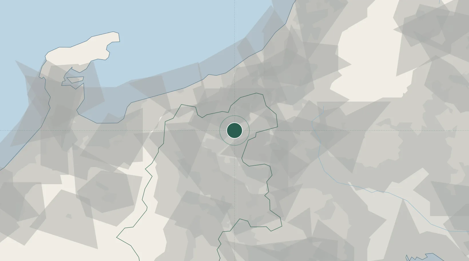
Hub Profile
Region
20
Location
Nearby Logistics Neighbours
Cities
- 1Suzaka6 km
- 2Omachi17 km
- 3Nozawaonsen26 km
- 4Shinko27 km
- 5Tsumagoi, Gunma27 km
Ports
- 1Naoetsu Ko54 km
- 2Himekawa56 km
- 3Kashiwazaki77 km
- 4Fushiki-Toyama106 km
- 5Nanao Ko125 km
Airports
- 1Shinshu-Matsumoto Airport69 km
- 2Toyama Kitokito Airport101 km
- 3Iruma Air Base137 km
- 4Noto Satoyama Airport137 km
- 5Utsunomiya Airport140 km
Trade Zones
- 1Gunma Environmentally Friendly Livestock Promotion Special Zone55 km
- 2Gunma Cancer Treatment Technology Regional Revitalization Comprehensive Special Zone72 km
- 3Nagaoka Independent Local Community Creation Special Zone86 km
- 4Toyama Community-based Welfare Promotion Special Zone109 km
- 5Minami-Alps Competitiveness and Sustainability Special Zone122 km
DatabookThe Record of Consolidated Knowledge
Japan beyond logistics?