Transport Functions
Port
Road
Hub Profile
Place type
Populated place
Region
Tokyo
Time zone
Asia/Tokyo
Elevation
6 m
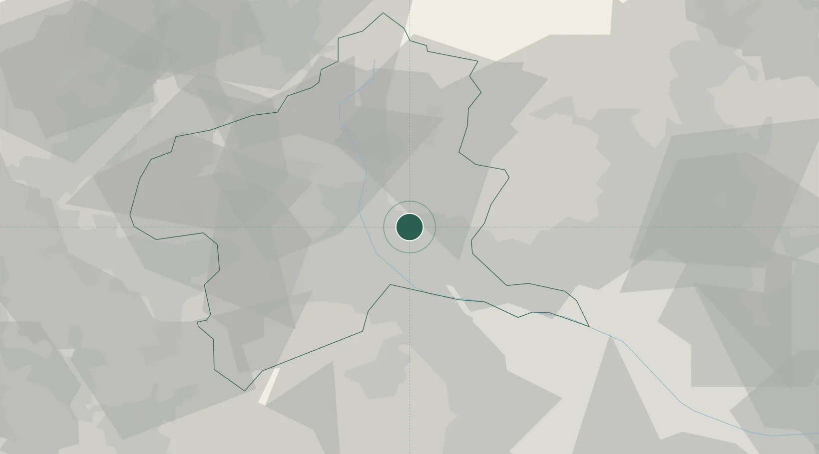
Location
Nearby Logistics Neighbours
Cities
- 1Isesaki13 km
- 2Kiryu15 km
- 3Shibukawa16 km
- 4Ota, Gunma22 km
- 5Honjyo24 km
Ports
- 1Tokyo Ko100 km
- 2Funabashi111 km
- 3Yokohama Ko116 km
- 4Naoetsu Ko117 km
- 5Kawasaki Ko117 km
Airports
- 1Utsunomiya Airport64 km
- 2Iruma Air Base69 km
- 3Yokota Air Base78 km
- 4Chofu Airport91 km
- 5JMSDF Shimofusa Air Base104 km
Trade Zones
- 1Gunma Cancer Treatment Technology Regional Revitalization Comprehensive Special Zone11 km
- 2Gunma Environmentally Friendly Livestock Promotion Special Zone33 km
- 3Saitama Next-Generation Automobile Smart Energy Special Zone73 km
- 4Kashiwanoha Campus Special Zone93 km
- 5Sagami Robot Industrial Special Zone95 km
DatabookThe Record of Consolidated Knowledge
Japan beyond logistics?