Transport Functions
Port
Multimodal
Hub Profile
Place type
Provincial seat
Region
Gunma
Population
76,098
Time zone
Asia/Tokyo
Elevation
202 m
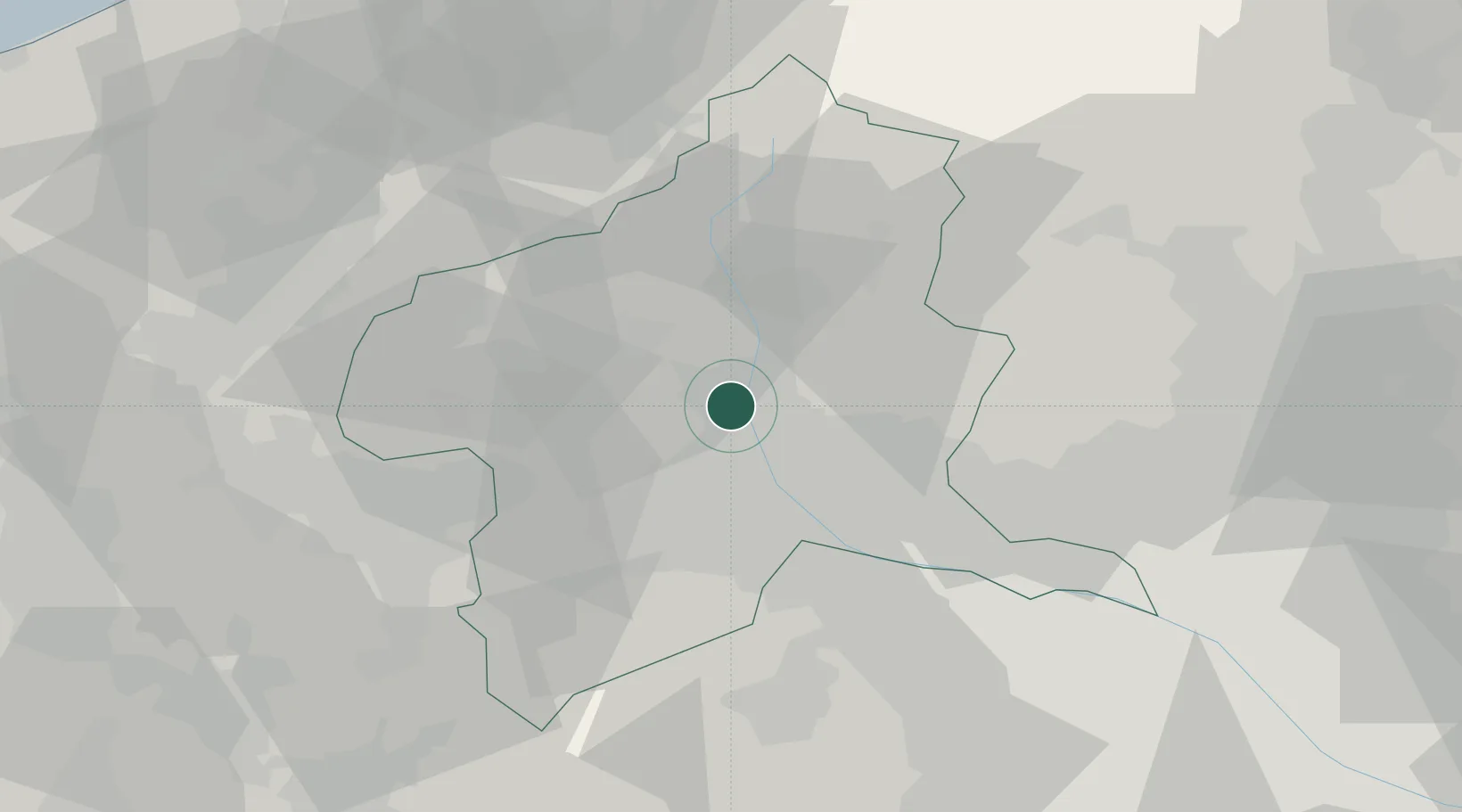
Location
Nearby Logistics Neighbours
Cities
- 1Miyagi16 km
- 2Minakami-Cho20 km
- 3Annaka21 km
- 4Kawaba26 km
- 5Isesaki26 km
Ports
- 1Naoetsu Ko103 km
- 2Kashiwazaki106 km
- 3Tokyo Ko113 km
- 4Himekawa119 km
- 5Funabashi125 km
Airports
- 1Utsunomiya Airport78 km
- 2Iruma Air Base80 km
- 3Yokota Air Base88 km
- 4Chofu Airport102 km
- 5Shinshu-Matsumoto Airport103 km
Trade Zones
- 1Gunma Cancer Treatment Technology Regional Revitalization Comprehensive Special Zone7 km
- 2Gunma Environmentally Friendly Livestock Promotion Special Zone21 km
- 3Saitama Next-Generation Automobile Smart Energy Special Zone87 km
- 4Sagami Robot Industrial Special Zone103 km
- 5Kashiwanoha Campus Special Zone108 km
DatabookThe Record of Consolidated Knowledge
Japan beyond logistics?