Transport Functions
Road
Multimodal
Hub Profile
Place type
Provincial seat
Region
Gunma
Population
57,013
Time zone
Asia/Tokyo
Elevation
170 m
Location
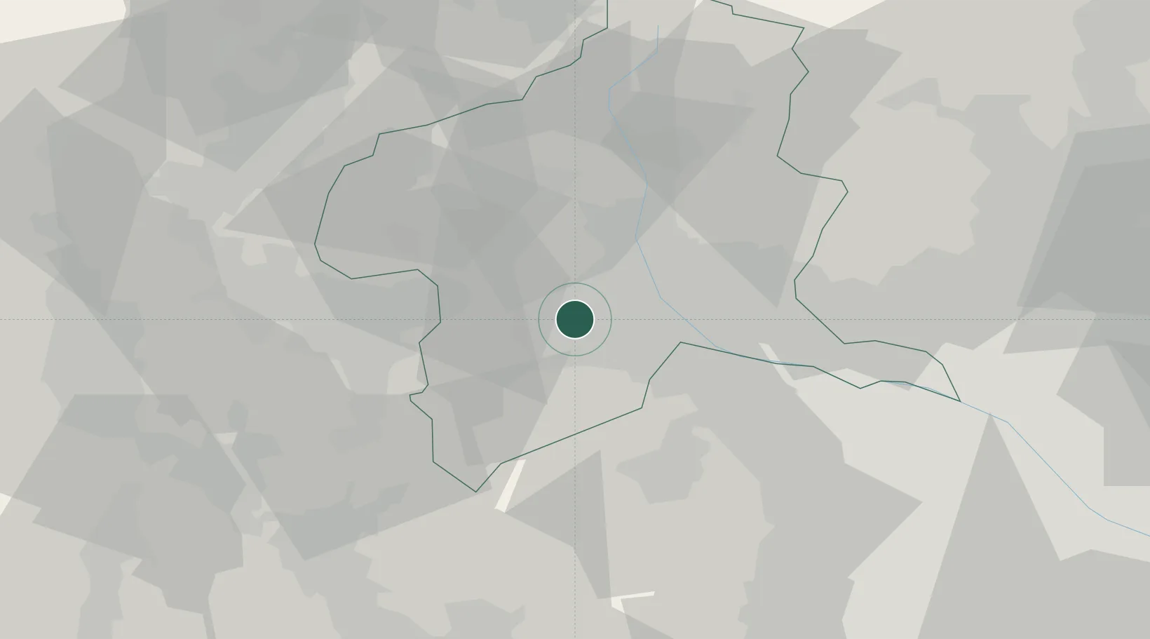
Nearby Logistics Neighbours
Cities
- 1Shibukawa21 km
- 2Arajuku21 km
- 3Honjyo25 km
- 4Isesaki27 km
- 5Karuizawa, Nagano27 km
Ports
- 1Tokyo Ko105 km
- 2Naoetsu Ko112 km
- 3Yokohama Ko114 km
- 4Funabashi119 km
- 5Kawasaki Ko120 km
Airports
- 1Iruma Air Base70 km
- 2Yokota Air Base75 km
- 3Shinshu-Matsumoto Airport89 km
- 4Utsunomiya Airport90 km
- 5Chofu Airport91 km
Trade Zones
- 1Gunma Cancer Treatment Technology Regional Revitalization Comprehensive Special Zone18 km
- 2Gunma Environmentally Friendly Livestock Promotion Special Zone39 km
- 3Saitama Next-Generation Automobile Smart Energy Special Zone82 km
- 4Sagami Robot Industrial Special Zone88 km
- 5Minami-Alps Competitiveness and Sustainability Special Zone88 km
DatabookThe Record of Consolidated Knowledge
Japan beyond logistics?