Transport Functions
Multimodal
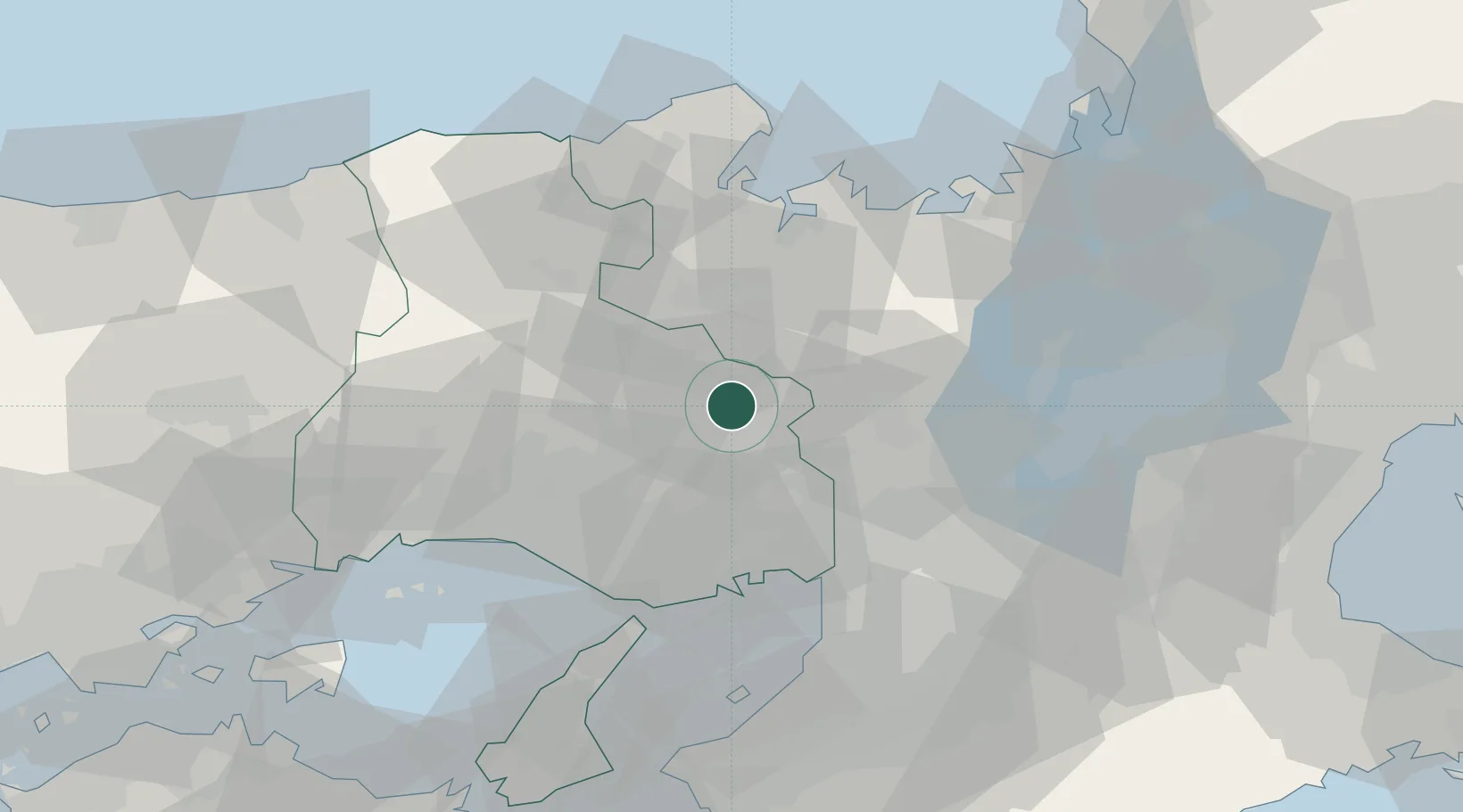
Hub Profile
Place type
Provincial seat
Region
Hyōgo
Population
40,050
Time zone
Asia/Tokyo
Elevation
202 m
Location
Nearby Logistics Neighbours
Ports
- 1Amagasaki44 km
- 2Kobe46 km
- 3Osaka50 km
- 4Maizuru Ko51 km
- 5Miyazu52 km
Airports
- 1Osaka Itami International Airport38 km
- 2Kobe Airport48 km
- 3Yao Airport63 km
- 4Konotori Tajima Airport63 km
- 5Kansai International Airport71 km
Trade Zones
- 1Kansai Innovation International Strategic Comprehensive Special Zone49 km
- 2Kyoto City Regional Revitalization Comprehensive Special Zone53 km
- 3Yabu City Strategic Special Zone56 km
- 4Lake Biwa Southern Area New Industry Creation Special Zone64 km
- 5Nara Park Tourist Area Revitalization Comprehensive Special Zone71 km
DatabookThe Record of Consolidated Knowledge
Japan beyond logistics?