Transport Functions
Multimodal
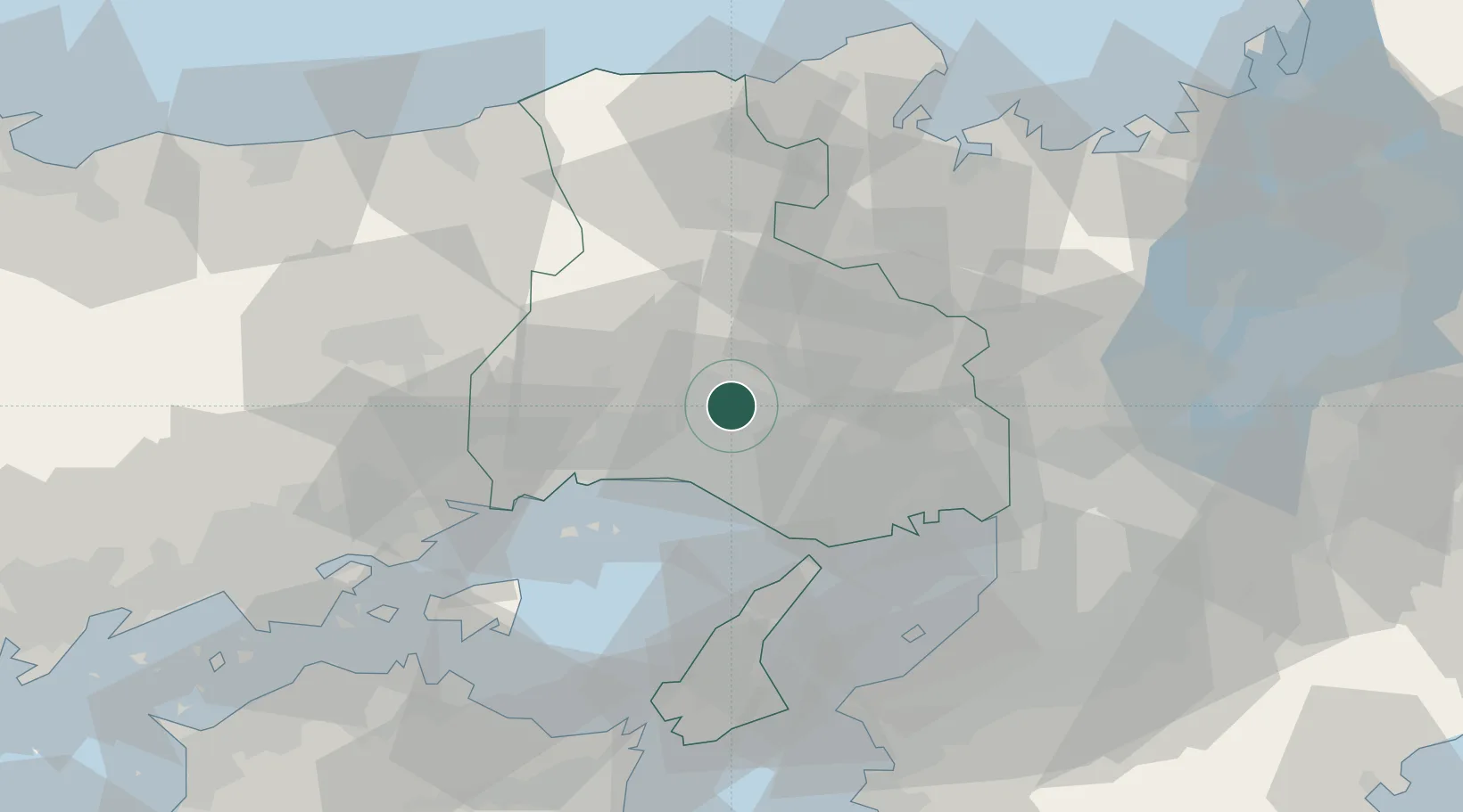
Hub Profile
Place type
Provincial seat
Region
Hyōgo
Population
42,700
Time zone
Asia/Tokyo
Elevation
66 m
Location
Nearby Logistics Neighbours
Ports
- 1Shikama25 km
- 2Higashi-Harima26 km
- 3Kakogawa26 km
- 4Hirohata26 km
- 5Himeji27 km
Airports
- 1Kobe Airport49 km
- 2Osaka Itami International Airport58 km
- 3Konotori Tajima Airport65 km
- 4Kansai International Airport68 km
- 5Yao Airport80 km
Trade Zones
- 1Yabu City Strategic Special Zone53 km
- 2Kansai Innovation International Strategic Comprehensive Special Zone65 km
- 3Awaji Environmental Future Island Special Zone66 km
- 4Rinku Town Izumisano City Area Regional Revitalization Comprehensive Special Zone73 km
- 5Okayama-type Sustainable Socio-Economic Model Construction Comprehensive Special Zone89 km
DatabookThe Record of Consolidated Knowledge
Japan beyond logistics?