Transport Functions
Port
Hub Profile
Place type
Provincial seat
Region
Golestan
Time zone
Asia/Tehran
Elevation
-19 m
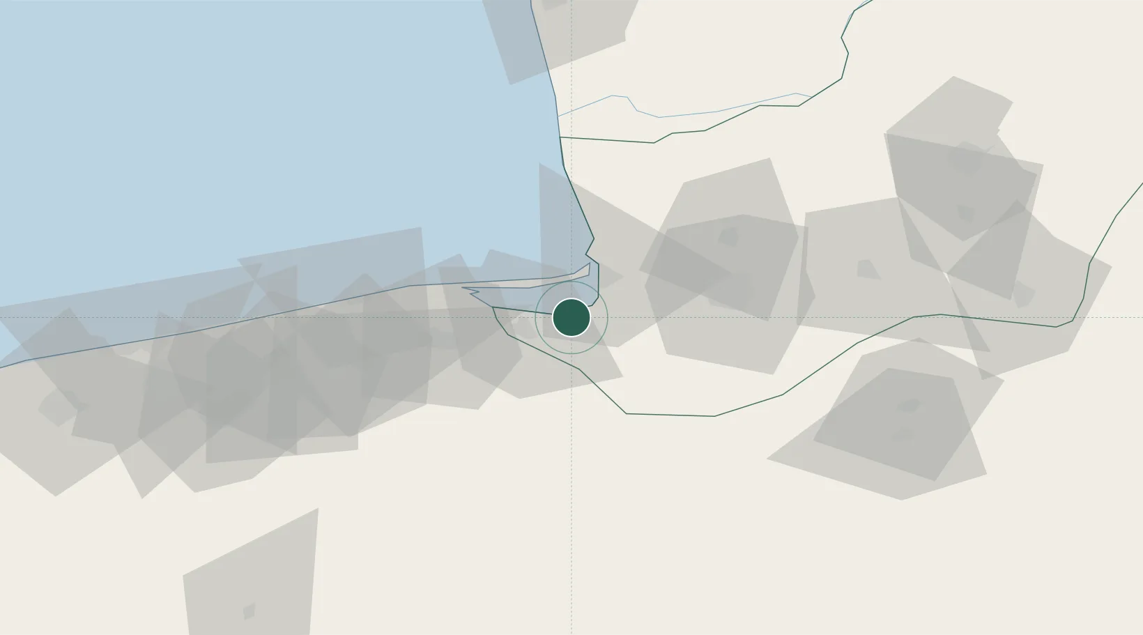
Location
Nearby Logistics Neighbours
Cities
- 1Bandar Neka38 km
- 2Bandar Amirabad53 km
- 3Neka61 km
- 4Freidoon Kenar125 km
- 5Amir Abad Pt162 km
Ports
- 1Bandar-E Mahshahr829 km
- 2Bandar Khomeyni837 km
- 3Khorramshahr885 km
- 4Abadan889 km
- 5Al Basrah897 km
Airports
- 1Gorgan Airport43 km
- 2Sari Dasht-e Naz International Airport70 km
- 3Semnan Municipal Airport139 km
- 4Nowshahr Airport222 km
- 5Mehrabad International Airport266 km
Trade Zones
DatabookThe Record of Consolidated Knowledge
Iran beyond logistics?