Medium airport · Iran

Shahid Sadooghi AirportOIYY
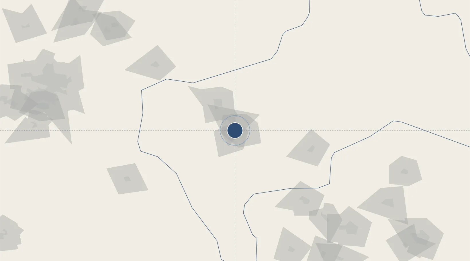
31.9049°, 54.2765°
13,446 ft
Longest runway
1
Runways
4,054 ft
Elevation

Runway & Layout

Shahid Sadooghi Airport runway & taxiway layout
Runway & taxiway layout — OpenStreetMap (ODbL) / OurAirports

Radio Frequencies

ATIS
126.25 MHz
TWR
121.9 MHz
OurAirports

Navaids

YZD TACAN Yazd Shahid Sadooghi 112.80 MHz
YZD VOR-DME Yazd Shahid Sadooghi 117.70 MHz
YZD NDB Yazd Shahid Sadooghi 402 kHz
OurAirports

Runways · 1

RunwayDimensions SurfaceTrue headingLit
13/31 13,446 × 148ft Asphalt 133°
OurAirports

Airport Specifications

IATA code
AZD
OurAirports
ICAO code
OIYY
OurAirports
Airport class
Medium airport
OurAirports
Scheduled service
Yes
OurAirports
Runway surface
Asphalt
OurAirports
Served city
Yazd
OurAirports

Location

Location of OIYY
Natural Earth 10m (public domain) · Yazd · OIYY · 31.90, 54.28GoogleOSMYandex

Nearby Logistics Neighbours

Airports
  1. 1Isfahan Shahid Beheshti International Airport244 km
  2. 2Rafsanjan Airport246 km
  3. 3Badr Air Base255 km
  4. 4Yasuj Airport292 km
  5. 5Sirjan Airport294 km
Nearest neighbours — logibook spatial index (haversine) over the source coordinates
Cities
  1. 1Dehbid176 km
  2. 2Abadeh266 km
  3. 3Ganaveh365 km
  4. 4Borazjan417 km
  5. 5Malekan422 km
Nearest neighbours — logibook spatial index (haversine) over the source coordinates
Ports
  1. 1Bushehr463 km
  2. 2Kharg Island Oil Terminal480 km
  3. 3Bandar Abbas561 km
  4. 4Bandar-E Shahid Rejaie562 km
  5. 5Jazireh-Ye Hormoz574 km
Nearest neighbours — logibook spatial index (haversine) over the source coordinates
Trade Zones
  1. 1Rafsanjan Special Economic Zone256 km
  2. 2Sirjan Special Economic Zone294 km
  3. 3Neyriz Special Economic Zone302 km
  4. 4Shiraz Special Economic Zone315 km
  5. 5Shahrekord ShahrKord Special Economic Zone332 km
Nearest neighbours — logibook spatial index (haversine) over the source coordinates
DatabookThe Record of Consolidated Knowledge
Iran beyond logistics?
Browse databook

All Sources

AirportsOurAirports
Public domain
Portsthe NGA World Port Index
Public domain (US gov)
LocationsUN/LOCODE
UN/LOCODE — free
Trade Zonesthe World Bank SEZ database
CC BY 4.0
Trade ZonesOpen Zone Map
CC BY
InfrastructureOpenStreetMap
ODbL 1.0
← Iran airports