Diversified Zone · Iran

Kish Trade Industrial Free Zone Active
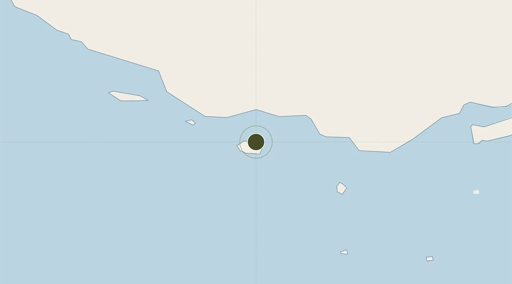
26.5585°, 54.0151°
91 ha
Zone area
72.2 km
Nearest port
5.0 km
Nearest airport

Gateway access

Nearest neighbours — logibook spatial index (haversine) over the source coordinates

Zone profile

Zone type
Diversified Zone
Open Zone Map
Region
Hormozgan
Open Zone Map
Status
Active
Open Zone Map
Management
Public
Open Zone Map
Operator
Kish Free Zone Organization
Open Zone Map
Legal framework
Law on the Administration of Free Trade-Industrial Zones of the Islamic Republic of Iran
Open Zone Map

Location

Location of ozm-2470
Natural Earth 10m (public domain) · Hormozgan · ozm-2470 · 26.56, 54.02GoogleOSMYandex

Nearby Logistics Neighbours

Ports
  1. 1Jazireh-Ye Lavan Oil Terminal72 km
  2. 2Jazireh-Ye Sirri91 km
  3. 3Fateh Oil Terminal116 km
  4. 4Jazirat Halul187 km
  5. 5Ajman190 km
Nearest neighbours — logibook spatial index (haversine) over the source coordinates
Airports
  1. 1Kish International Airport5 km
  2. 2Lavan Airport71 km
  3. 3Bandar Lengeh International Airport81 km
  4. 4Siri Airport89 km
  5. 5Lamerd Airport122 km
Nearest neighbours — logibook spatial index (haversine) over the source coordinates
Cities
  1. 1Amirabad48 km
  2. 2Abu Musa126 km
  3. 3Bandare Parsian130 km
  4. 4Mirfa133 km
  5. 5Abu al Bukhoosh149 km
Nearest neighbours — logibook spatial index (haversine) over the source coordinates
Trade Zones
  1. 1Lavan Special Economic Zone86 km
  2. 2Parsian Pārsiān Special Economic Zone121 km
  3. 3Lamerd Lamord Special Economic Zone for Energy Industries122 km
  4. 4Pars Parse Special Economic Energy Zone178 km
  5. 5Dubai Maritime City190 km
Nearest neighbours — logibook spatial index (haversine) over the source coordinates
DatabookThe Record of Consolidated Knowledge
Iran beyond logistics?
Browse databook

All Sources

Trade ZonesOpen Zone Map
CC BY
Portsthe NGA World Port Index
Public domain (US gov)
AirportsOurAirports
Public domain
LocationsUN/LOCODE
UN/LOCODE — free
← Iran trade zones