Large airport · Iran
Kish International AirportOIBK
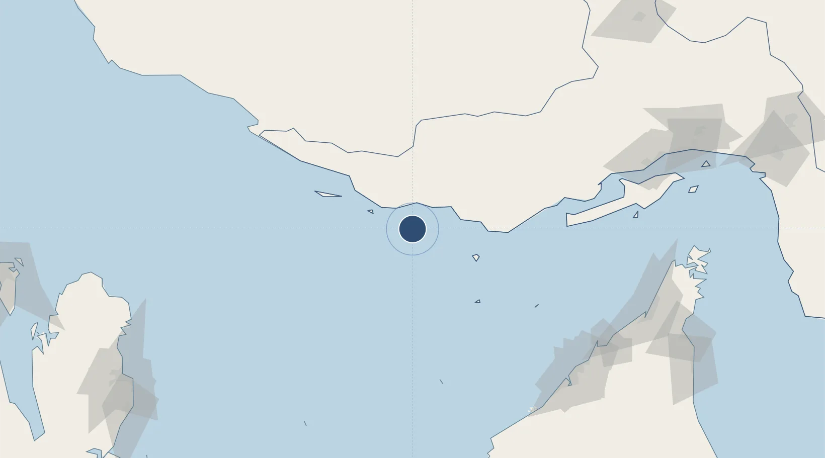
26.5254°, 53.9805°
12,004 ft
Longest runway
1
Runways
101 ft
Elevation
Runway & Layout

Radio Frequencies
ATIS
128 MHz
TWR
118.45 MHz
Navaids
KIH TACAN Kish Island 116.50 MHz
KIH NDB Kish Island 201 kHz
KIS VOR-DME Kish Island 117.40 MHz
Runways · 1
| Runway | Dimensions | Surface | True heading | Lit |
|---|---|---|---|---|
| 09R/27L | 12,004 × 148ft | Asphalt | 095° | ✓ |
Airport Specifications
IATA code
KIH
ICAO code
OIBK
Airport class
Large airport
Scheduled service
Yes
Runway surface
Asphalt
Served city
Kish Island
Location
Nearby Logistics Neighbours
Airports
- 1Lavan Airport70 km
- 2Bandar Lengeh International Airport84 km
- 3Siri Airport88 km
- 4Lamerd Airport123 km
- 5Abu Musa Island Airport128 km
Cities
- 1Amirabad53 km
- 2Abu Musa127 km
- 3Mirfa128 km
- 4Bandare Parsian129 km
- 5Abu al Bukhoosh144 km
Ports
- 1Jazireh-Ye Lavan Oil Terminal70 km
- 2Jazireh-Ye Sirri90 km
- 3Fateh Oil Terminal114 km
- 4Jazirat Halul182 km
- 5Jazirat Das189 km
DatabookThe Record of Consolidated Knowledge
Iran beyond logistics?