UN/LOCODE hub · India
INBVC

Concor-ICD/Ballabhgarh

28.3500°, 77.3167°
1
Transport functions

Transport Functions

Multimodal
UN/LOCODE

Hub Profile

Region
HR
GeoNames

Location

Location of INBVC
Natural Earth 10m (public domain) · HR · INBVC · 28.35, 77.32GoogleOSMYandex

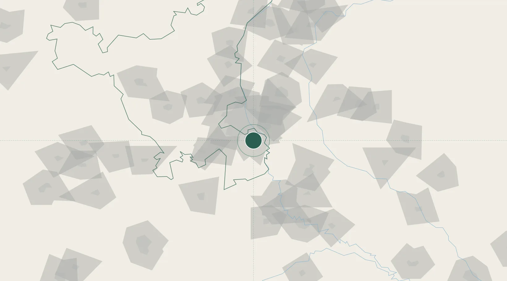
Nearby Logistics Neighbours

Cities
  1. 1Faridabad1 km
  2. 2Faridabad3 km
  3. 3GRFL ICD/Ballabhgarh10 km
  4. 4GPRPL SEZ/Gurgaon16 km
  5. 5Palwal ICD17 km
Nearest neighbours — logibook spatial index (haversine) over the source coordinates
Ports
  1. 1Dahej882 km
  2. 2Bhavnagar893 km
  3. 3Navlakhi913 km
  4. 4Magdalla924 km
  5. 5Kandla925 km
Nearest neighbours — logibook spatial index (haversine) over the source coordinates
Airports
  1. 1Safdarjung Airport28 km
  2. 2Indira Gandhi International Airport32 km
  3. 3Noida International Airport35 km
  4. 4Hindon Airport / Hindon Air Force Station40 km
  5. 5Aligarh Airport98 km
Nearest neighbours — logibook spatial index (haversine) over the source coordinates
Trade Zones
  1. 1Dr. Fresh Healthcare Pvt. Ltd.18 km
  2. 2Asf Insignia SEZ Pvt. Ltd. (Formerly Known As Canton Buildwell Pvt. Ltd.)19 km
  3. 3ASF Insignia SEZ19 km
  4. 4TCS Noida19 km
  5. 5Espire Infrastructure Corporation Limited19 km
Nearest neighbours — logibook spatial index (haversine) over the source coordinates
DatabookThe Record of Consolidated Knowledge
India beyond logistics?
Browse databook

All Sources

LocationsUN/LOCODE
UN/LOCODE — free
Portsthe NGA World Port Index
Public domain (US gov)
AirportsOurAirports
Public domain
Trade Zonesthe World Bank SEZ database
CC BY 4.0
Trade ZonesOpen Zone Map
CC BY
← India locations