UN/LOCODE hub · India
INMAA
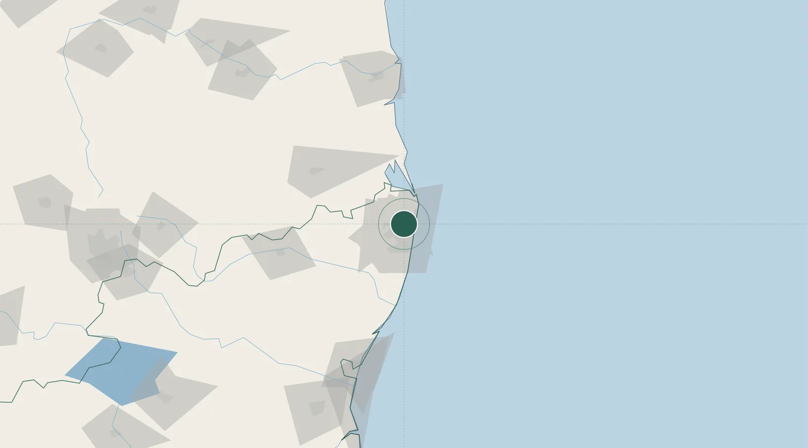
Chennai (ex Madras)
13.1743°, 80.2199°
5
Transport functions
2
Container terminals
Transport Functions
Port
Rail
Road
Airport
Postal
Hub Profile
Region
TN
Logistics facilities
64
Container terminals
2
Location
Nearby Logistics Neighbours
Cities
- 1Mylapore8 km
- 2Kattupalli8 km
- 3Tondiarpet9 km
- 4Royapuram11 km
- 5Choolai11 km
Ports
- 1Kamarajar Port16 km
- 2Kattupalli Port120 km
- 3Pondicherry144 km
- 4Cuddalore169 km
- 5Karaikal Port263 km
Airports
DatabookThe Record of Consolidated Knowledge
India beyond logistics?