UN/LOCODE hub · India
INENR

Ennore

13.2656°, 80.3376°
1
Transport functions
1
Container terminals

Transport Functions

Port
Ennore is also a profiled seaport →
UN/LOCODE

Hub Profile

Region
TN
GeoNames
Logistics facilities
2
UN/LOCODE
Container terminals
1
UN/LOCODE

Location

Location of INENR
Natural Earth 10m (public domain) · TN · INENR · 13.27, 80.34GoogleOSMYandex

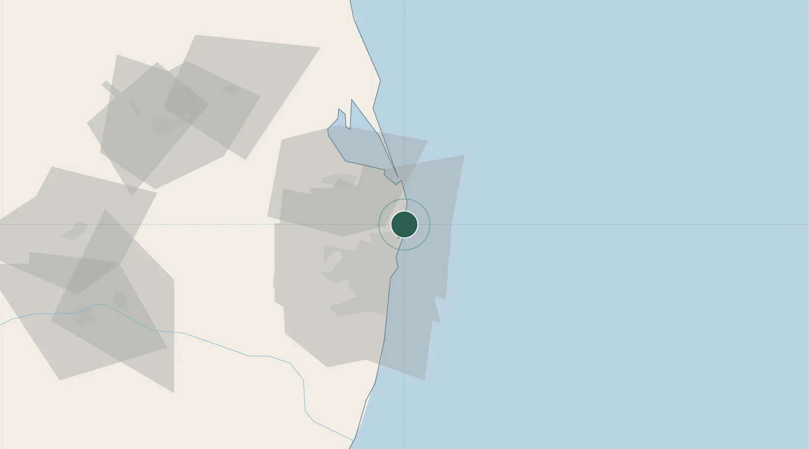
Nearby Logistics Neighbours

Cities
  1. 1Kattupalli Port6 km
  2. 2Mylapore9 km
  3. 3Kattupalli10 km
  4. 4Chennai (ex Madras)16 km
  5. 5Tondiarpet18 km
Nearest neighbours — logibook spatial index (haversine) over the source coordinates
Ports
  1. 1Chennai (Madras)19 km
  2. 2Kattupalli Port112 km
  3. 3Pondicherry158 km
  4. 4Cuddalore183 km
  5. 5Karaikal Port275 km
Nearest neighbours — logibook spatial index (haversine) over the source coordinates
Airports
  1. 1Chennai International Airport36 km
  2. 2Tirupati International Airport95 km
  3. 3Pondicherry Airport155 km
  4. 4Kadapa Airport219 km
  5. 5Kempegowda International Airport Bengaluru285 km
Nearest neighbours — logibook spatial index (haversine) over the source coordinates
Trade Zones
  1. 1Tril Info Park24 km
  2. 2New Chennai Developers Llp24 km
  3. 3State Industries Promotion Corporation of Tamil Nadu Limited24 km
  4. 4Sipcot26 km
  5. 5CCCL Infrastructure Limited27 km
Nearest neighbours — logibook spatial index (haversine) over the source coordinates
DatabookThe Record of Consolidated Knowledge
India beyond logistics?
Browse databook

All Sources

LocationsUN/LOCODE
UN/LOCODE — free
Portsthe NGA World Port Index
Public domain (US gov)
AirportsOurAirports
Public domain
Trade Zonesthe World Bank SEZ database
CC BY 4.0
Trade ZonesOpen Zone Map
CC BY
← India locations