Transport Functions
Multimodal
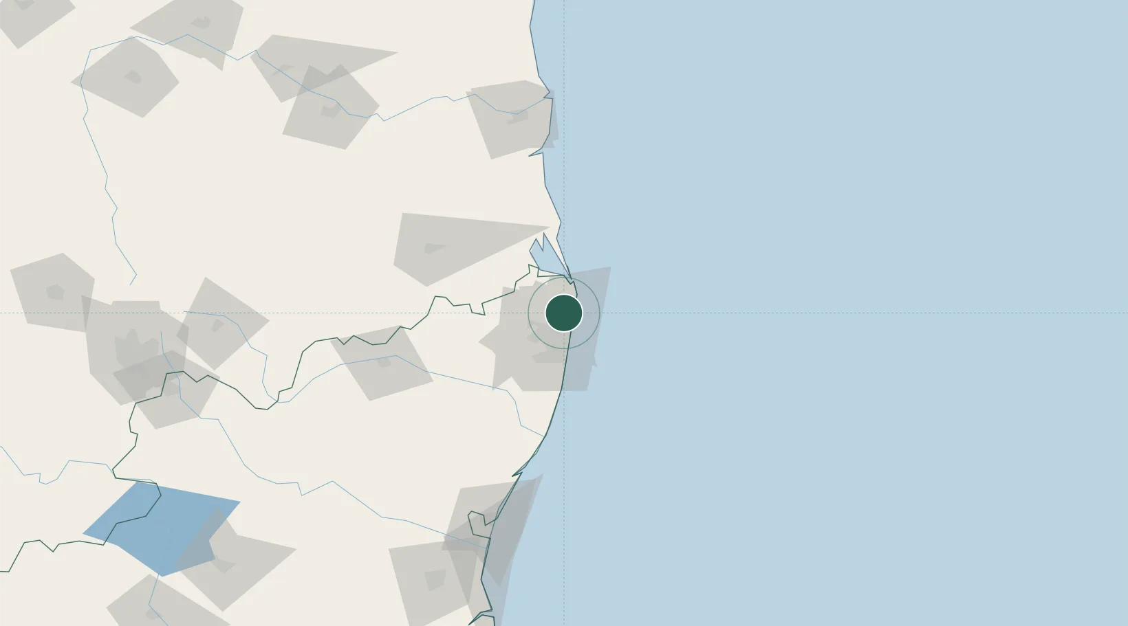
Hub Profile
Place type
Urban district
Region
Tamil Nadu
Time zone
Asia/Kolkata
Elevation
12 m
Location
Nearby Logistics Neighbours
Cities
- 1Kattupalli6 km
- 2Chennai (ex Madras)8 km
- 3Ennore9 km
- 4Tondiarpet13 km
- 5Kattupalli Port15 km
Ports
- 1Kamarajar Port9 km
- 2Chennai (Madras)15 km
- 3Kattupalli Port114 km
- 4Pondicherry152 km
- 5Cuddalore177 km
Airports
Trade Zones
DatabookThe Record of Consolidated Knowledge
India beyond logistics?