Transport Functions
Multimodal
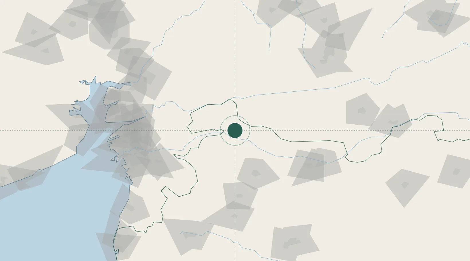
Hub Profile
Place type
Populated place
Region
Maharashtra
Population
61,376
Time zone
Asia/Kolkata
Elevation
140 m
Location
Nearby Logistics Neighbours
Cities
- 1Sendhwa67 km
- 2Dhule79 km
- 3SE&C-LTD-SEZ/Waghodia141 km
- 4Kheda/Dhar145 km
- 5Ankleshwar150 km
Ports
- 1Magdalla183 km
- 2Hazira197 km
- 3Dahej201 km
- 4Bhavnagar232 km
- 5Pipavav Bandar314 km
Airports
Trade Zones
DatabookThe Record of Consolidated Knowledge
India beyond logistics?