UN/LOCODE hub · India
INSHW

Sendhwa

21.6833°, 75.1000°
56,485
Population
1
Transport functions

Transport Functions

Multimodal
UN/LOCODE

Hub Profile

Place type
Populated place
GeoNames
Region
Madhya Pradesh
GeoNames
Population
56,485
GeoNames
Time zone
Asia/Kolkata
GeoNames
Elevation
410 m
GeoNames

Location

Location of INSHW
Natural Earth 10m (public domain) · Madhya Pradesh · INSHW · 21.68, 75.10GoogleOSMYandex

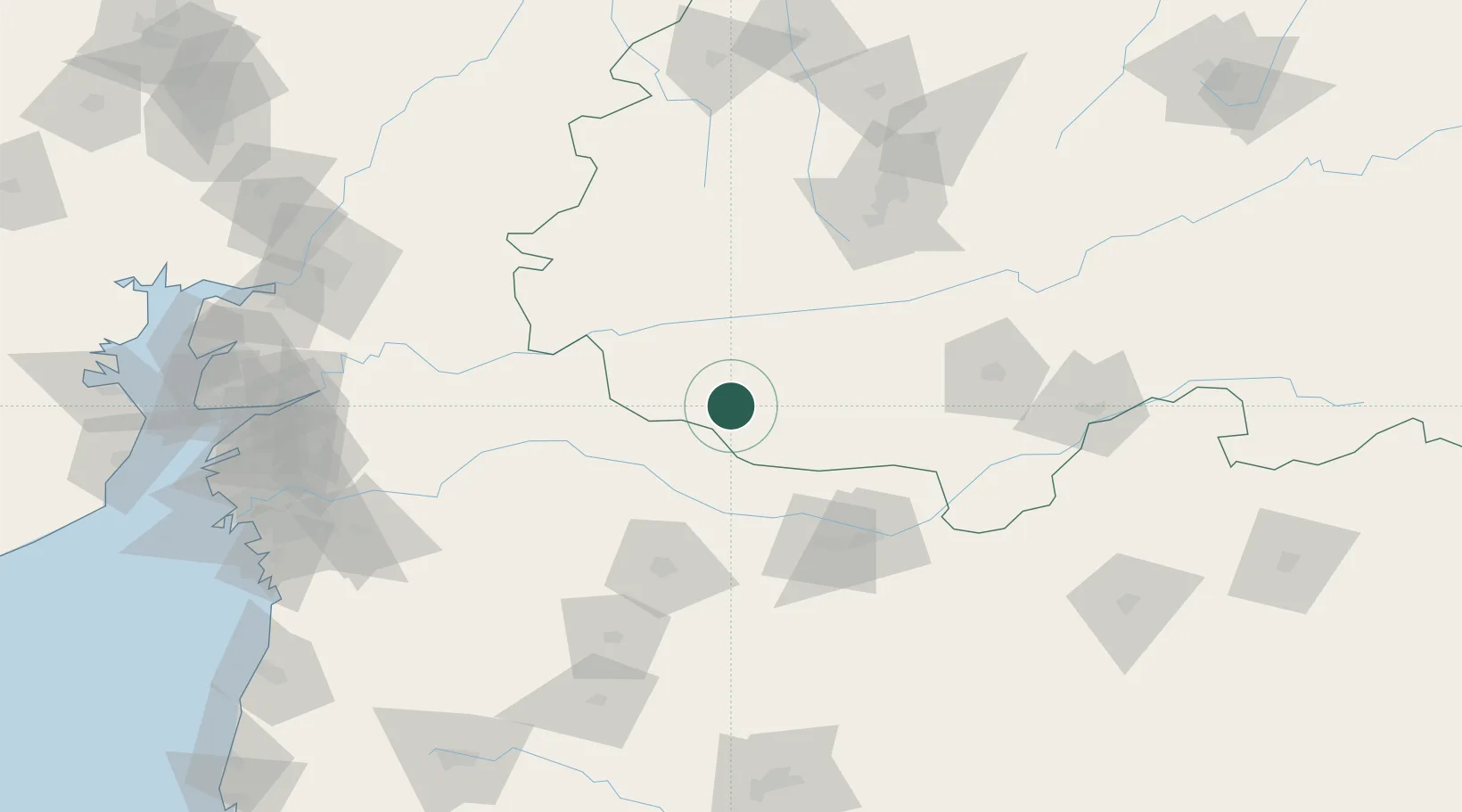
Nearby Logistics Neighbours

Cities
  1. 1Shahada67 km
  2. 2Dhule93 km
  3. 3Kheda/Dhar104 km
  4. 4Indore122 km
  5. 5IIPL SEZ/Indore138 km
Nearest neighbours — logibook spatial index (haversine) over the source coordinates
Ports
  1. 1Magdalla250 km
  2. 2Hazira264 km
  3. 3Dahej265 km
  4. 4Bhavnagar296 km
  5. 5Jawaharlal Nehru Port (Nhava Shiva)378 km
Nearest neighbours — logibook spatial index (haversine) over the source coordinates
Airports
  1. 1Jalgaon Airport97 km
  2. 2Devi Ahilya Bai Holkar International Airport136 km
  3. 3Aurangabad Airport205 km
  4. 4Vadodara International Airport206 km
  5. 5Nashik International Airport213 km
Nearest neighbours — logibook spatial index (haversine) over the source coordinates
Trade Zones
  1. 1Indore Special Economic Zone119 km
  2. 2Crystal IT Park SEZ (M.P. Audoyogik Kendra Vikas Nigam(Indore) Ltd.)137 km
  3. 3Impetus Infotech (India) Private Limited142 km
  4. 4Parsvnath City155 km
  5. 5Ajanta Projects (India) Ltd.202 km
Nearest neighbours — logibook spatial index (haversine) over the source coordinates
DatabookThe Record of Consolidated Knowledge
India beyond logistics?
Browse databook

All Sources

LocationsUN/LOCODE
UN/LOCODE — free
LocationsGeoNames
CC BY 4.0
Portsthe NGA World Port Index
Public domain (US gov)
AirportsOurAirports
Public domain
Trade Zonesthe World Bank SEZ database
CC BY 4.0
Trade ZonesOpen Zone Map
CC BY
← India locations