Large airport · India

Devi Ahilya Bai Holkar International AirportVAID
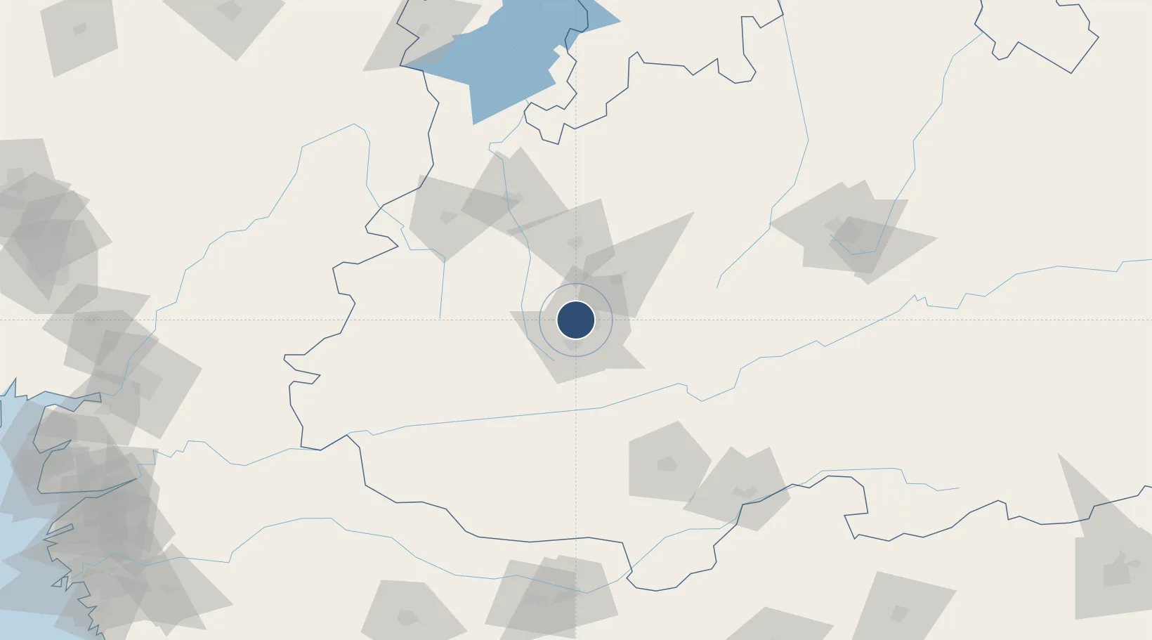
22.7214°, 75.8005°
9,035 ft
Longest runway
1
Runways
1,850 ft
Elevation

Runway & Layout

Devi Ahilya Bai Holkar International Airport runway & taxiway layout
Runway & taxiway layout — OpenStreetMap (ODbL) / OurAirports

Radio Frequencies

TWR
122.8 MHz
INDORE TWR
APP
122.3 MHz
INDORE APP
OurAirports

Navaids

ID NDB Indore 335 kHz
IID VOR-DME Indore 116.70 MHz
OurAirports

Runways · 1

RunwayDimensions SurfaceTrue headingLit
07/25 9,035 × 148ft Composite 065°
OurAirports

Airport Specifications

IATA code
IDR
OurAirports
ICAO code
VAID
OurAirports
Airport class
Large airport
OurAirports
Scheduled service
Yes
OurAirports
Runway surface
Composite
OurAirports
Served city
Indore
OurAirports

Location

Location of VAID
Natural Earth 10m (public domain) · Madhya Pradesh · VAID · 22.72, 75.80GoogleOSMYandex

Nearby Logistics Neighbours

Airports
  1. 1Raja Bhoj International Airport169 km
  2. 2Jalgaon Airport196 km
  3. 3Akola Airport260 km
  4. 4Vadodara International Airport268 km
  5. 5Kota Airport271 km
Nearest neighbours — logibook spatial index (haversine) over the source coordinates
Cities
  1. 1IIPL SEZ/Indore3 km
  2. 2INFOSYS SEZ/Indore3 km
  3. 3TCS SEZ/Indore3 km
  4. 4Dhannad/Indore4 km
  5. 5Indore15 km
Nearest neighbours — logibook spatial index (haversine) over the source coordinates
Ports
  1. 1Dahej355 km
  2. 2Magdalla360 km
  3. 3Hazira374 km
  4. 4Bhavnagar382 km
  5. 5Pipavav Bandar486 km
Nearest neighbours — logibook spatial index (haversine) over the source coordinates
Trade Zones
  1. 1Crystal IT Park SEZ (M.P. Audoyogik Kendra Vikas Nigam(Indore) Ltd.)8 km
  2. 2Impetus Infotech (India) Private Limited9 km
  3. 3Indore Special Economic Zone20 km
  4. 4Parsvnath City20 km
  5. 5L & T Ltd. Vill Ankhol, Vadodara265 km
Nearest neighbours — logibook spatial index (haversine) over the source coordinates
DatabookThe Record of Consolidated Knowledge
India beyond logistics?
Browse databook

All Sources

AirportsOurAirports
Public domain
Portsthe NGA World Port Index
Public domain (US gov)
LocationsUN/LOCODE
UN/LOCODE — free
Trade Zonesthe World Bank SEZ database
CC BY 4.0
Trade ZonesOpen Zone Map
CC BY
InfrastructureOpenStreetMap
ODbL 1.0
← India airports